Maps and Guides
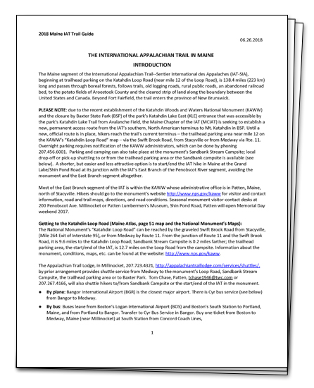
Maine IAT Trail Guide and Maps
The Trail Guide is a textual description of the IAT in Maine from Baxter State Park to the Canadian Border. It includes three section maps of the trail in Maine.
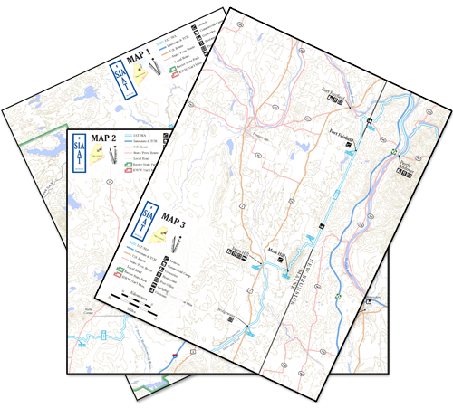
Just the Maps, Please...
These three section maps show the IAT in Maine along with lean-tos, private campgrounds, resupply locations and other major landmarks.
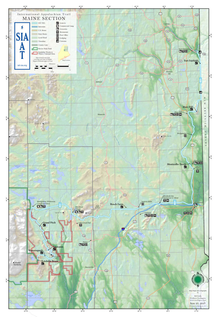
The Big Picture Map
Color shaded-relief map of the IAT in Maine showing lean-tos and and main resupply locations.
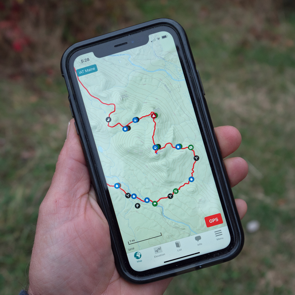
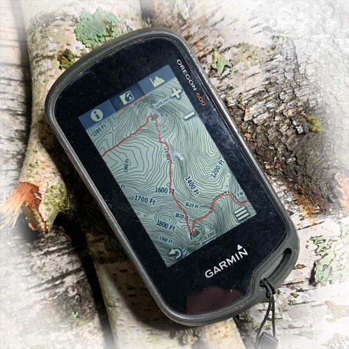
Now available! FarOut Guides.
The FarOut Guides (formerly know as Guthook Guides) for the Maine, New Brunswick, Quebec, Prince Edward Island, and Nova Scotia sections of the IAT are now available. Newfoundland section is coming soon!
Download by clicking the FarOut logo below, or click this link.

