Last IAT Sponsored Hike of the 2024 Hiking Season

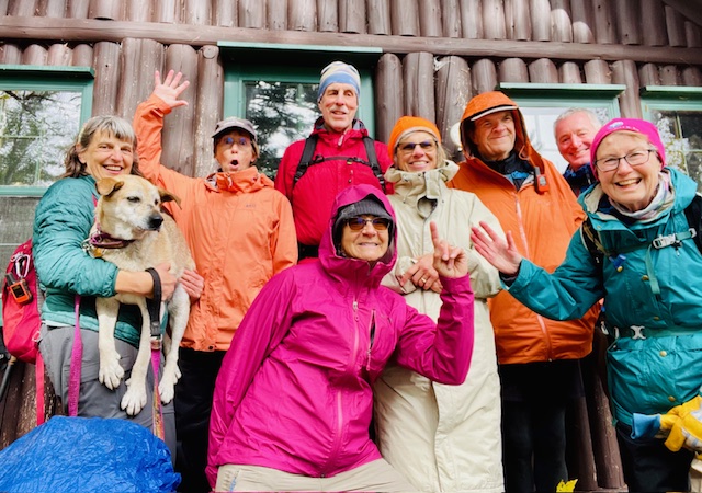
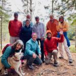
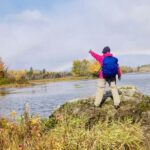
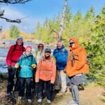
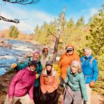
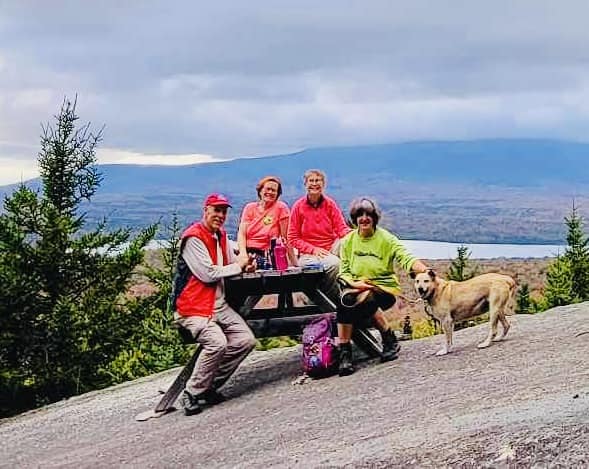
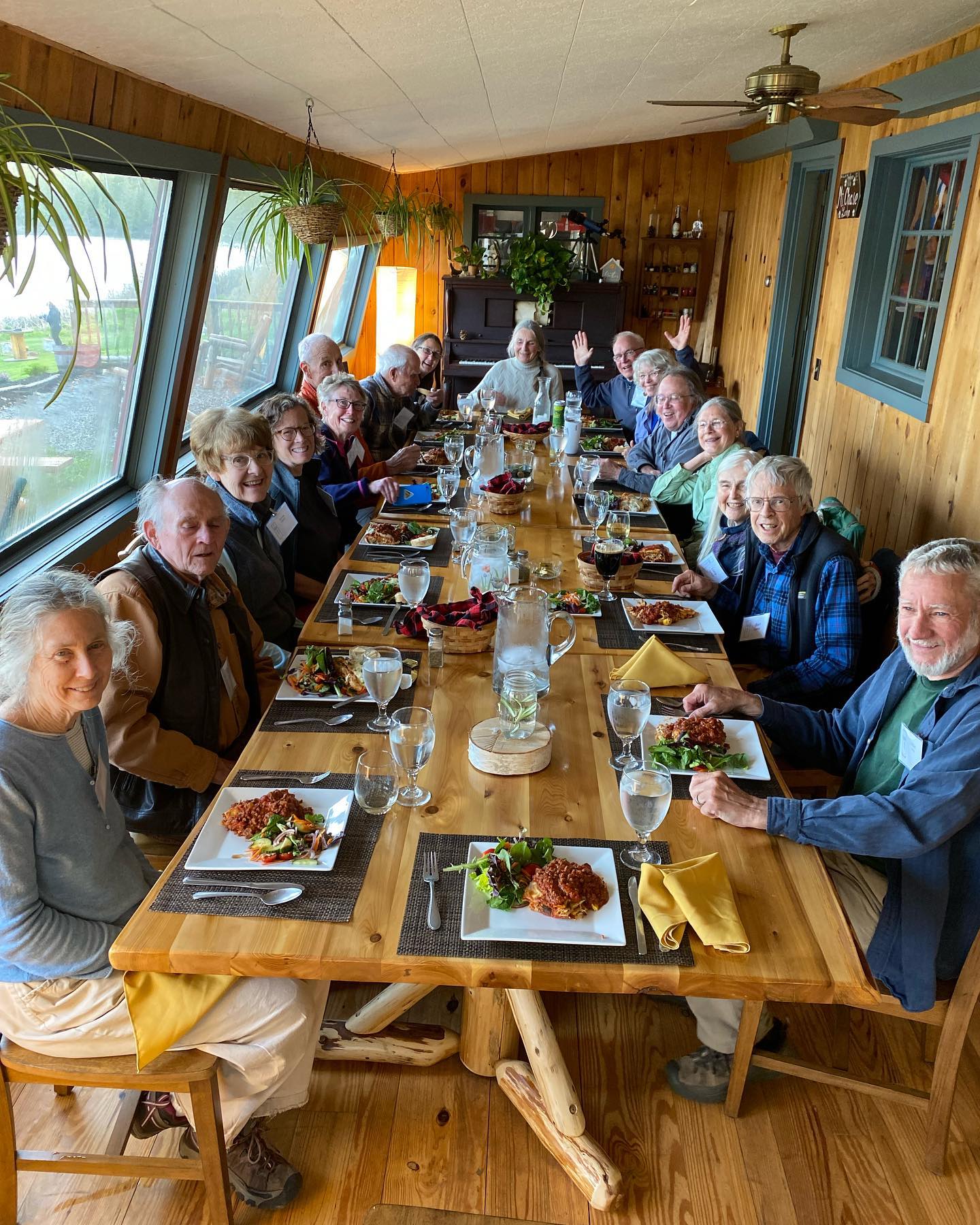
Seven hardy adventurers joined Elaine and Eric Hendrickson over Indigenous People’s Weekend to hike in and around the north entrance of Katahdin Woods and Waters National Monument.  It rained, the wind blew, and a rainbow crossed the sky. It rained and the wind blew some more, but everyone stayed!  The foliage was beautiful! Our hikers joined us from Aroostook, Washington, Hancock, and  Cumberland counties.  Not everyone knew  each other, but by the end of our three-day adventure, we were all hiking buddies swapping stories and photos madly back and forth.

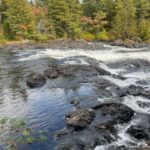
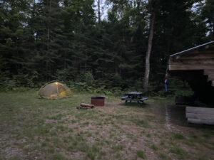
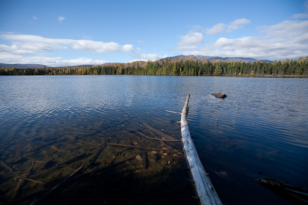
On Thursday evening, October 10, Fran Marquis and Robert Lind joined us at the East Branch Campsite for dinner and camping.  Eric covered the picnic tables with a tarp to cut down on the wind that blew up the East Branch of the Penobscot River.  Friday dawned sunny.  Our first stop was to explore the CCC (Civilian Conservation Core) camp remains that are in the woods behind the Forestry Station on Rt. 159.  One old chimney still stands with many others crumbling in the woods.  We met the rest of our hikers at the trail head of the Sebeois River Trail.  Joining us were Mary Jane Good, Christina Perkins and her dog, Rye, Christy and Margaret Stout, and Erik Giggey.  The first leg of the hike brought us to the picnic area overlooking the falls about on the Sebeois River.  We stopped for lunch and photos before heading on to the cabin located off the trail where hikers can stay.  After exploring the cabin, we decided to hike a bit further down the trail before turning around to head back to the cars. 

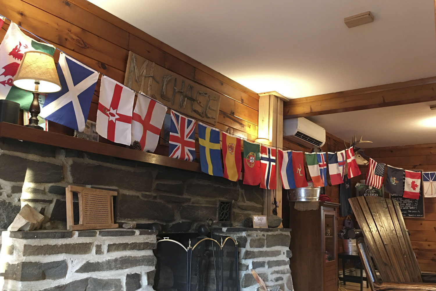
Christy and Margaret had reservations for dinner and the night at Mt. Chase Lodge. The rest headed to East Branch Campsite to set up their tents. Gathered around the picnic table for supper, where we swapped outdoor cooking ideas, stories and learned how to use Airdrop on Apple phones.  It rained and the wind blew all night.  I am glad to report nobody got wet in their tents! 

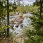
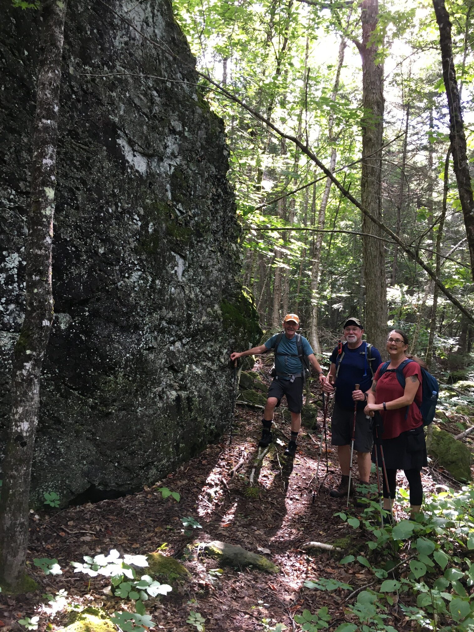
It stopped raining Friday morning, but the wind was still blowing.  A decision was made to drive to Haskell Gate and hike to Haskell Hut, through Haskell Campsite, and then to Haskell Rock Pitch where Eric explained the history of the pitch and how it got its name.  The falls were beautiful.  Lots of photos were taken and later shared.  From there we did a bit of caving.  Huge conglomerate rocks were dropped by the glacier forming talus caves further up the trail toward Messer Pond.  Eric led the group through the passage to the other side of the rocks by climbing and crawling under and around some of giant boulders.  No one got stuck or freaked out!  From there we headed around to the front of the rocks to have lunch in their shadows.  Most of the group  headed back to our campsite with a quick stop at Mother Nature’s Garden.  A few decided to hike into the old spring house with Eric near the Matagamon Gate, while Robert and I walked back from there by way of the Oxbow Road to our campsite.  By then, it had clouded up again as the wind continued to blow.  A fire was definitely needed.  Treats and desserts were shared along with more hiking, camping stories, and cooking tips.  

Saturday dawned sunny, but many folks had to leave, so we packed up camp and headed in separate directions.  What a great weekend of making new camping and hiking friends, learning about the history and geology of the area, and swapping stories despite the weather! 
Hiker packing up a tent

Hike on the IAT (International Appalachian Trail) along the East Branch of the Penobscot River on September 21, 2024, submitted by Milt Stein

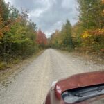
It was a perfect autumn day. Partly Sunny with temps in the 60’s. A wonderful day for a leisurely hike along the East Branch of the Penobscot River in The Katahdin Woods and Waters National Monumnent. The foliage was beginning to change to red, yellow, and orange. Passed two fly fishermen on the bridge by the Matagamon Wilderness Campground just before taking the turn to enter The Monument. The gravel road to the Haskell Gate, known as the Messer Pond Road or the New River Road, is in excellent shape and easily passable in any type of vehicle. Went by the Old River Road Loop and the Oxbow Road. I recalled Cross Country skiing there last winter. Excellent conditions, well-groomed by the rangers, splendid views of the mountains at the north end of Baxter Park and of the river. Profoundly wild. A great idea for a day hike on another trip. I continued to the dead-end parking area near the Haskell Gate for the start of our hike.

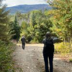
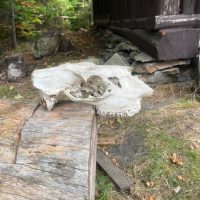
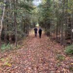
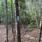
We ran into a ranger and spoke briefly as we headed out. This part of the International Appalachian Trail is a wide and flat tote road that has an excellent treadway and minimal elevation change. We walked through the woods enjoying conversation on topics of interest, exchanging notes on various places we like to hike and organizations that protect and maintain wild places like this. We observed the many varieties of trees and plants as we walked, and we made our first stop to see the Haskell Hut. The hut is only open for winter camping, but it’s located in a beautiful, quiet spot on a bluff above the East Branch. We saw a bald eagle glide lazily across the river there. And a large skull, presumably a moose, was propped up on a log for our review.

Moose Skull

From there we continued to Haskell Deadwater and inspected the campsite and portage trail. Another beautiful, quiet location next to a slow, wide spot on the river, with a view of Bald Mountain in the distance. A little farther along we reached Haskell Rock Pitch and stopped to admire the rips and to take a look at Haskell Rock. We kept meandering along the trail marveling at the quiet beauty and solitude of this place, enjoying the company and the conversation as we walked. We stopped for lunch at the Pond Pitch West campsite, right on the river next to the pitch. Another clean, beautiful campsite. We wanted to keep going, as it was a pleasant, leisurely walk, but based on our mileage, we were looking at a total trip of 7-8 miles and decided to head back after lunch.

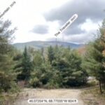
On the way back we ran into two backpackers heading in and spoke to them for a few minutes. One of them had camped previously at the Wassataquoik Lean To and the Esker Tent site on the IAT in the southern part of The Monument. He was very enthusiastic about camping along this section of the IAT. He related that the campsites are very well set up and scenic and very wild. As we finished up, we were treated to a view of The Traveler, the tallest mountain in the north end of Baxter State Park. When we got back to our cars we had gone about 7.75 miles in about five hours, including breaks. It passed by very quickly. We were living in the moment, taking it all in. An absolutely beautiful walk in an easily accessible and remote wilderness.

The First 10 Miles-A Hike Report

Amy and I met up at the Sandbank Stream campground, where we stayed one night before heading out to the IAT trailhead. Before we got on the trail, we encountered a thru-hiker who had completed the AT and was heading northbound on the IAT.

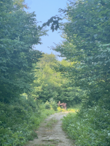
Within the first hour or two of our hike, we turned a corner and there was a male moose about fifty yards away from us, directly in the middle of the trail. Although Amy and I stayed put and tried to wait for the moose to move safely off to the side, he seriously did not care that we were there – he just continued munching away at the plants and minding his business.

After about an hour of waiting and with no indication that the moose intended to move, Amy and I decided to turn around and reroute to our lean-to. Although the encounter was a minor annoyance, it was a neat experience to have happened upon him, and encouraging that he seemed to be in such good health. We stayed at the Wassataquoik Lean-to, which was in great condition, that night. 

On the second day of our hike, we did the Ford River crossing. The river was running well, but luckily the water was not so high as to make the crossing tedious. I found a walking stick before we crossed to help out with balancing on the rocks, though I didn’t need to rely on it very heavily.

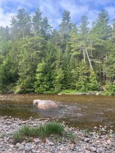
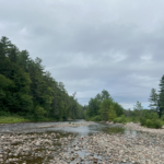
The opposite side of the crossing, before the ascent of Mount Deasey, was my favorite part of the IAT that I experienced – I watched a beautiful great blue heron fly along the riverbank, and I thought that all the river stones and gentle rapids were beautiful. As we began to hike away from the river, the trail became slightly marshy for a few hundred meters, with massive ferns and tall grasses, before turning further into the forest.

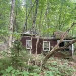
The trail up towards Mount Deasey was easy-going for the most part. We hiked past Earl’s Erratic, a house-sized boulder just to the side of the trail. The elevation picked up tremendously once we reached the abandoned fire warden’s cabin. Those 800 meters up to Deasey were tough, but the expansive view of Katahdin, Mount Chase, Sugarloaf Mountain, the Turner Mountains, and much of the Maine North Woods made the scramble worth it. The summit of Deasey made an ideal spot for a water and snack break.

On our way back down from Deasey, we ran into a group of National Park Service volunteers who were out to repair the fire warden’s tower at the top of the mountain, which was great news, as the tower was in need of some TLC when Amy and I saw it.

In just the first ten or so miles of the IAT, I experienced a range of what the IAT and Katahdin Woods & Waters have to offer – close-up encounters with wildlife (the moose and the great blue heron), stunning views (the Ford River and the panoramic lookout of Mount Deasey), relaxed trail-walks, and challenging scrambles.