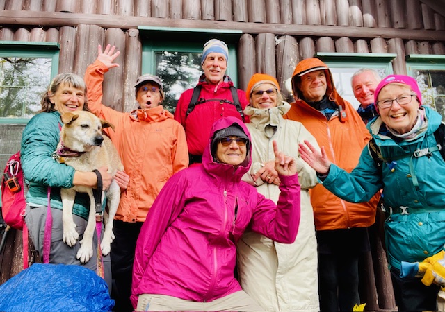
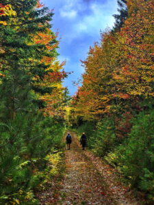
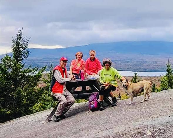
Seven hardy adventurers joined Elaine and Eric Hendrickson over Indigenous People’s Weekend to hike in and around the north entrance of Katahdin Woods and Waters National Monument. It rained, the wind blew, and a rainbow crossed the sky. It rained and the wind blew some more, but everyone stayed! The foliage was beautiful! Our hikers joined us from Aroostook, Washington, Hancock, and Cumberland counties. Not everyone knew each other, but by the end of our three-day adventure, we were all hiking buddies swapping stories and photos madly back and forth.
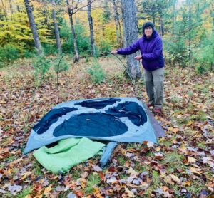
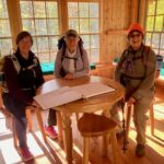
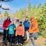
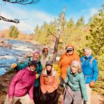
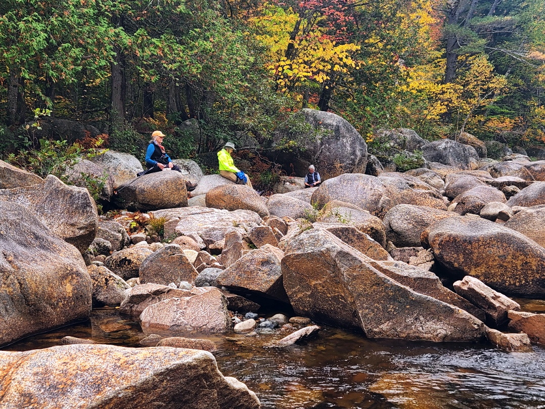
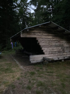
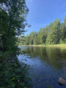
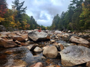
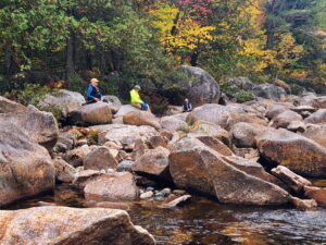
On Thursday evening, October 10, Fran Marquis and Robert Lind joined us at the East Branch Campsite for dinner and camping. Eric covered the picnic tables with a tarp to cut down on the wind that blew up the East Branch of the Penobscot River. Friday dawned sunny. Our first stop was to explore the CCC (Civilian Conservation Core) camp remains that are in the woods behind the Forestry Station on Rt. 159. One old chimney still stands with many others crumbling in the woods. We met the rest of our hikers at the trail head of the Sebeois River Trail. Joining us were Mary Jane Good, Christina Perkins and her dog, Rye, Christy and Margaret Stout, and Erik Giggey. The first leg of the hike brought us to the picnic area overlooking the falls about on the Sebeois River. We stopped for lunch and photos before heading on to the cabin located off the trail where hikers can stay. After exploring the cabin, we decided to hike a bit further down the trail before turning around to head back to the cars.
Christy and Margaret had reservations for dinner and the night at Mt. Chase Lodge. The rest headed to East Branch Campsite to set up their tents. Gathered around the picnic table for supper, where we swapped outdoor cooking ideas, stories and learned how to use Airdrop on Apple phones. It rained and the wind blew all night. I am glad to report nobody got wet in their tents!
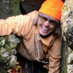
It stopped raining Friday morning, but the wind was still blowing. A decision was made to drive to Haskell Gate and hike to Haskell Hut, through Haskell Campsite, and then to Haskell Rock Pitch where Eric explained the history of the pitch and how it got its name. The falls were beautiful. Lots of photos were taken and later shared. From there we did a bit of caving. Huge conglomerate rocks were dropped by the glacier forming talus caves further up the trail toward Messer Pond. Eric led the group through the passage to the other side of the rocks by climbing and crawling under and around some of giant boulders. No one got stuck or freaked out! From there we headed around to the front of the rocks to have lunch in their shadows. Most of the group headed back to our campsite with a quick stop at Mother Nature’s Garden. A few decided to hike into the old spring house with Eric near the Matagamon Gate, while Robert and I walked back from there by way of the Oxbow Road to our campsite. By then, it had clouded up again as the wind continued to blow. A fire was definitely needed. Treats and desserts were shared along with more hiking, camping stories, and cooking tips.
Saturday dawned sunny, but many folks had to leave, so we packed up camp and headed in separate directions. What a great weekend of making new camping and hiking friends, learning about the history and geology of the area, and swapping stories despite the weather!
