Jennifer Pharr Davis – Long Distant

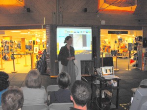
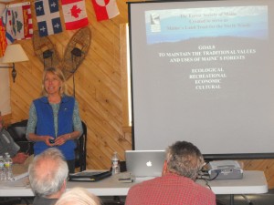
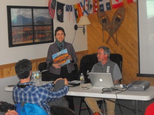
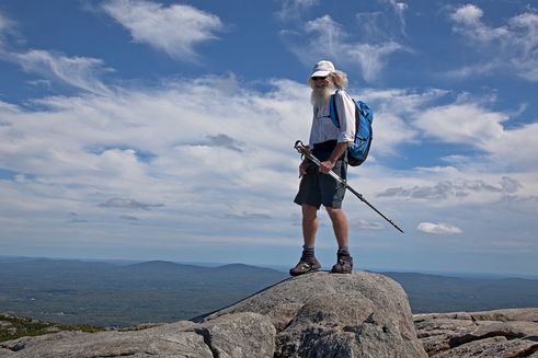
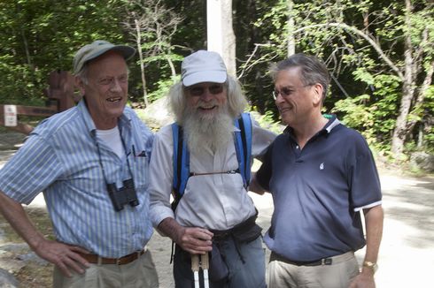
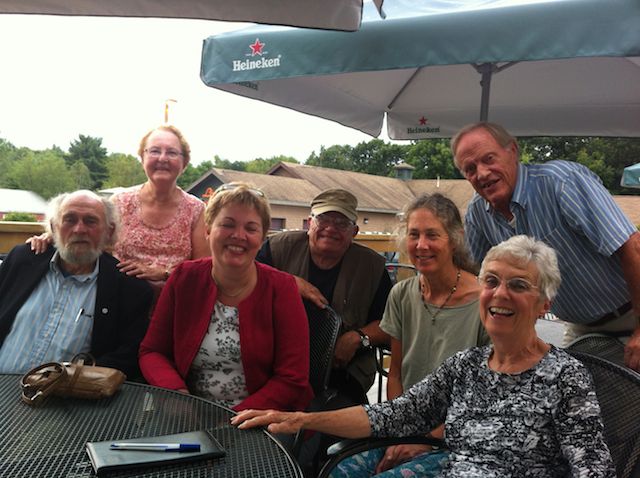
Dick Anderson and Walter Anderson attended a recent presentation by a remarkable long distant Hiker, Jennifer Pharr Davis at L.L. Bean, Freeport, Maine. Ms. Davis has backpacked more than 11,000 miles on six different continents, including three thru-hikes on the Appalachian Trail. In 2011 Ms. Davis broke the record for the fastest AT thru-kike, making her the record holder for men and women. She is the first women to hold the overall title. She spoke eloquently on her many interesting hiking experiences and we highly recommend her recent book, entitled, “Becoming Odyssa: Adventures on the Appalachian Trail”, Amazon.com
Walter Anderson

The IAT Debuts at American Trails International Trail Symposium

Maine Chapter President Don Hudson made the trek to Fountain Hills, Arizona in mid-April to tell the story of the International Appalachian Trail at the first International Trails Symposium convened at the 25th anniversary meeting of American Trails.
American Trails supports local, regional and long distance trails and greenways, whether they be in backcountry, rural or urban areas. American Trails’ goal is to support America’s trails by finding common ground and promoting cooperation among all trail interests. Since 1988, American Trails has been involved in everything from training trails advocates to increasing accessible trail opportunities for people with disabilities.
This year’s biennial conference (http://www.americantrails.org/2013/index.html) was billed as the first International Trails Symposium and it aimed to bring together people from throughout the country and from across borders to share ideas, learn new techniques in trail planning, building and management. ~American Trails touts itself as the only trail organization that works on behalf of all trails – hiking, bicycling, mountain biking, horseback riding, water trails, snowshoeing, x-country skiing, trail motorcycling, ATV’s, snowmobiling and four-wheeling.

Don was asked to speak on the opening afternoon about the history and current status of the IAT. Don shared the story – now well known to IAT friends – of the establishment of a connecting trail to the world famous Appalachian Trail linking the three highest mountains in Maine, New Brunswick and southern Quebec, ending at the foot of the cliffs at Cap Gaspé. The IAT was extended to the spectacular coastal and mountainous terrain of the western peninsula of Newfoundland, and a few years later sections in Nova Scotia and on Prince Edward Island were completed.

An invitation to tell the story of the IAT in Scotland in June 2009 began the movement of the trail to the eastern flank of the North Atlantic Basin. ~IAT chapters were established quickly Greenland and Scotland, followed in rapid succession by others that ring the North Sea, including Norway, Sweden, Denmark, the Netherlands, and England — as well as in Iceland and the Faröe Islands. The former five countries are amongst those that participate in a European regional trail initiative called Coast Alive. Spain came next, followed by France and Wales, and most recently the Isle of Man.
Among other workshops, Don participated in one on Trail Towns that explored the issues — both obstacles and benefits — of communities close to long distance trails. ~As the IAT becomes better known, trail villages and towns will become increasingly important, providing access to the trail and supporting people who venture out on the world’s longest network of hiking trails.

19th Annual Meeting of The Maine Chapter

NINETEENTH ANNUAL MEETING OF THE MAINE CHAPTER
INTERNATIONAL APPALACHIAN TRAIL
SHIN POND VILLAGE, MAINE
MAY 2-3-4, 2013
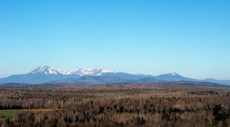
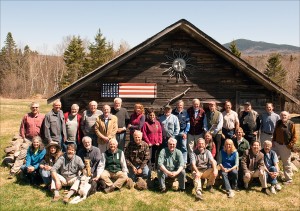
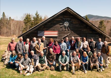
A group of approximately forty scientists, artists, writers, and natural resource professionals representing government, non-government, recreation, and business organizations descended on Shin Pond Village, Maine to attend the Annual Meeting of the Maine Chapter of the International Appalachian Trail (MCIAT).
THURSDAY MAY 2
The program commenced on May, 2nd at the Lumberman’s Museum, Patten, Maine where Director Rhonda Brophy graciously treated attendees to coffee, wine and cheese / crackers, combined with an interesting presentation and exhibits of historic photos, art, and artifacts of the lumber and forest industry in Maine. The meeting also coincided with the celebration of the 50th Anniversary of the Lumberman’s Museum.

Dick Anderson, Rhonda Brophy, Herb Hartman
In late afternoon, the attendees travelled a short distance to Shin Pond Village for a social hour followed by a delicious dinner prepared by proprietors Terry and Craig Hill.
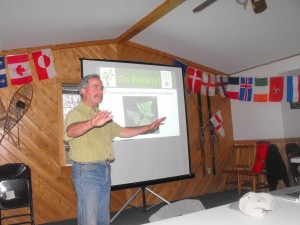
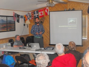
The highlight of the evening was a fascinating presentation on a new internet screening methodology and technique for plant identification given by Don Hudson entitled, “Go Botany”. Throw away your Gray’s Manual of Botany?
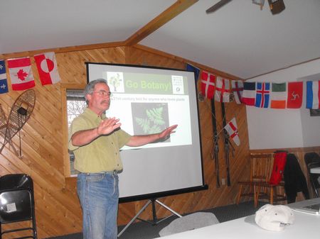
Don Hudson
FRIDAY MAY 3
This day was an informative full program day of presentations by a variety of conservation, recreational, artists and natural resource leaders, planners, authors and organizations, such as: International Appalachian Trail, Baxter Park, Friends of Baxter Park, Elliotsville Plantation Inc., Department of Transportation, New Brunswick IAT, Pinhoti Trail, Alabama, Forest Society of Maine, Published Authors, and University of Maine Farmington. (see web site program).
The late afternoon included a brief annual business meeting of both the members of the MCIAT and the board of the MCIAT.
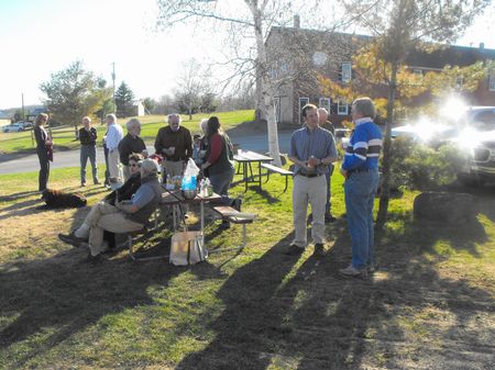
A social and attitude adjustment interval furnished an opportunity for convivial conversation and professional exchange, and once again Shin Pond Village provided an excellent supper.
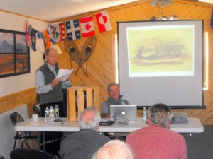
An interesting and timely presentation of the “History of Mining in Maine” from 18th century to present was given by Fred Beck, a professional geologist and long time resident of Maine. He spoke of a full spectrum of mined commodities in Maine, including; clay(bricks / ceramics), peat (agricultural / energy), pegmatites (semi-precious gems), bog iron, base metals (copper, zinc, lead, etc.) and precious metals (gold / silver).
SATURDAY MAY 4
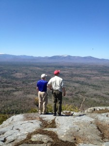
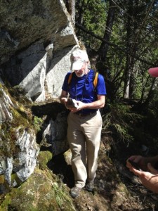
Two morning field trips marked the events on an exceptionally beautiful day. One group of hardy trekkers lead by Earl Raymond ascended Mt. Chase and another climbed to Sugarloaf Mountain lead by State Geologist, Bob Marvinney.
Respectfully submitted,
Walter Anderson, Program Chairman
Additional photos:

Dick Anderson, Poul Jorgenson, Hikers Julie King & Ed Talone, Don Hudson
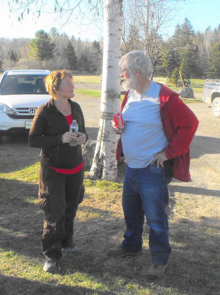
Julie King and John Calhoun "Mother Natures Son"
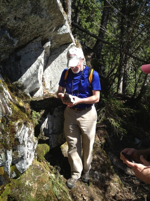
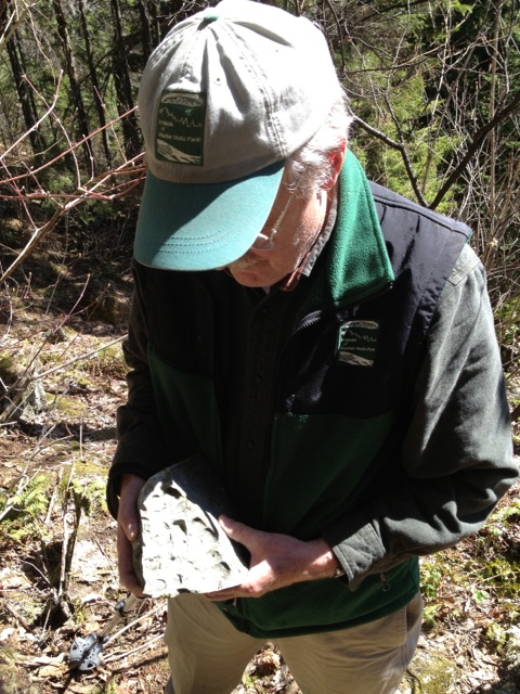
Bob Marvinney
Howard Whitcomb
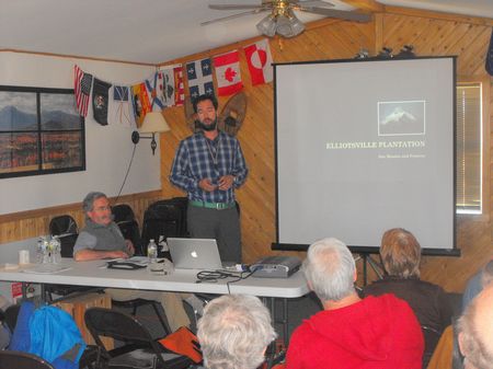
Lucas St. Clair – Elliostville Plantation
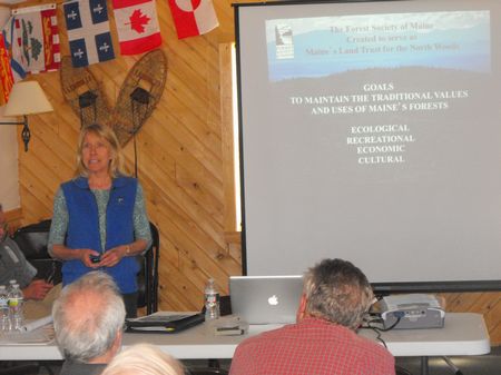
Karin Tilberg – Forest Society of Maine
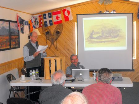
David Little
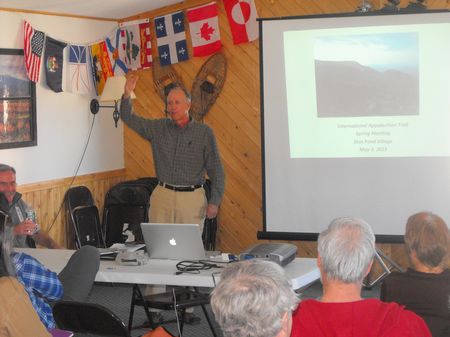
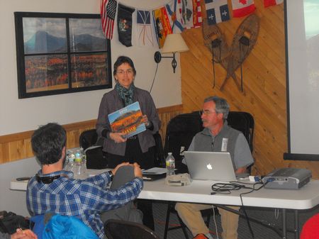
Barbara Bentley – Friends of Baxter Park
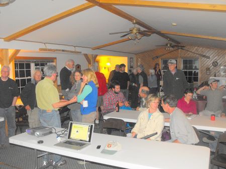
NINETEENTH ANNUAL MEETING OF THE MAINE CHAPTER

INTERNATIONAL APPALACHIAN TRAIL – MAY 2-3-4, 2013

A group of approximately forty scientists, artists, writers, and natural resource professionals representing government, non-government, recreation, and business organizations descended on Shin Pond Village, Maine to attend the Annual Meeting of the Maine Chapter of the International Appalachian Trail (MCIAT).
THURSDAY MAY 2 – The program commenced at the Lumberman’s Museum, Patten, Maine where Director Rhnoda Brophy graciously treated attendees to coffee, wine and cheese/crackers, combined with an interesting presentation and exhibits of historic photos, art, and artifacts of the lumber and forest industry in Maine. The meeting also coincided with the celebration of the 50th Anniversary of the Lumberman’s Museum.

In late afternoon, the attendees travelled a short distance to Shin Pond Village for a social hour followed by a delicious dinner prepared by proprietors Terry and Craig Hill.
The highlight of the evening was a fascinating presentation on a new internet screening methodology and technique for plant identification given by Don Hudson entitled, “Go Botany”. Throw away your Gray’s Manual of Botany?

FRIDAY MAY 3 – This day was an informative full program day of presentations by a variety of conservation, recreational, artists and natural resource leaders, planners, authors and organizations, such as: International Appalachian Trail, Baxter Park, Friends of Baxter Park, Elliotsville Plantation Inc., Department of Transportation, New Brunswick IAT, Pinhoti Trail, Alabama, Forest Society of Maine, Published Authors, and University of Maine Farmington.
The late afternoon included a brief annual business meeting of both the members of the MCIAT and the board of the MCIAT.
A social and attitude adjustment interval furnished an opportunity for convivial conversation and professional exchange, and once again Shin Pond Village provided an excellent supper.

An interesting and timely presentation of the “History of Mining in Maine” from 18th century to present was given by Fred Beck, a professional geologist and long time resident of Maine. He spoke of a full spectrum of mined commodities in Maine, including; clay(bricks / ceramics), peat (agricultural / energy), pegmatites (semi-precious gems), bog iron, base metals (copper, zinc, lead, etc.) and precious metals (gold / silver).
SATURDAY MAY 4 – Two morning field trips marked the events on an exceptionally beautiful day. One group of hardy trekkers lead by Earl Raymond ascended Mt. Chase and another climbed to Sugarloaf Mountain lead by State Geologist, Bob Marvinney.
Respectfully submitted,
Walter Anderson, Program Chairman
Additional Photos:

2013 IAT Hikers

Dick Anderson, Poul Jorgensen (from NB Trails), and Don Hudson give a formal send-off to Julie King and Ed Talone, who headed out from Shin Pond, Maine for Newfoundland & Labrador on the IAT on May 4th.
You can follow Ed & Julies hiking adventures at:http://edjuliehikingadventures.shutterfly.com

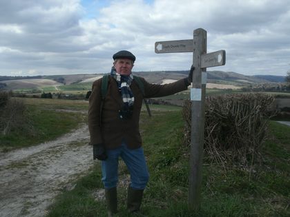
Maine IAT Board Member Thomas Urquhart Takes a Walk on South Downs Way

In late March 2013, IAT Maine board member Thomas Urquhart set off on the South Downs Way to again walk the hills he roamed as a young lad growing up in the south of England. Join him and his wife and sister as he recounts the sheep and grazing bunnies on Easter Sunday morn.

Maine Chapter IAT Board Member, Thomas Urqhart
Let’s be clear. There is very little “Appalachian” about England’s South Downs Way. It is made of chalk and flint laid down during the Cretaceous period, anything from 100 to 200 million years after the cataclysmic orogeny that threw up what we know as the Appalachians.
On the other hand, the South Downs Way taught me just about everything I know about nature, not least the pleasures of an extended walk punctuated by a thankful pint at a pub. So when the powers-that-be included their 90-plus mile footpath as an official part of the International Appalachian Trail, I was happy to reconcile geological punctilio with my life-long relationship with the hills that capture the gentle essence of the Sussex Weald.

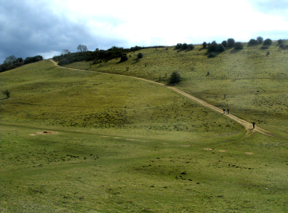
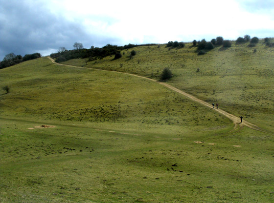
Last Easter morning, joined by my wife and sister, I took to the well-loved path up Amberley Mount. When they were being considered for national park status, there was some question as to whether this end of the South Downs would be included. Intensive agriculture has taken over a lot of the land where sheep and rabbits used to make the grass velvet-firm, and parts of it are undeniably degraded. Still, I always took this as a personal snub, and in the end Amberley Mount was included. It is, after all, one of the haunts of the rare Adonis Blue butterfly.

Amberly Mount
It was too early in the year for wheatears, but buzzards and red kites are thriving (as I found was the case all over southern England), a major change from when I was a boy and game-keepers everywhere ruthlessly suppressed them. So, too, are the wood pigeons in absurd numbers. Does no-one eat pigeon pie anymore?

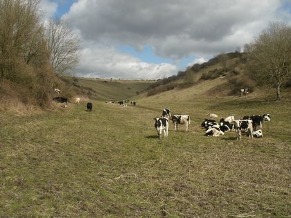
Downland Valley
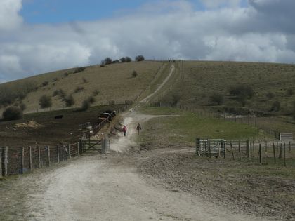
Despite their protected status as a national park, the ploughing up of the shoulders of these beautiful hills continues to carve out still larger swathes of pale chalky soil at the expense of the lush green turf. And the taut, close barbed wire fences that surround them mean business in a way the few slack strands that allowed me to pursue my amateur archaeological passions in the same fields never did.

Cows Grazing in Downland Valley
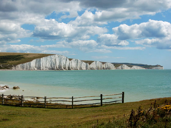
But the slopes of the Downs are still voluptuously round, and when you have summited Amberley Mount (500 feet above sea level) you can see the sea (leaden gray on this last day of March) six or seven miles to the South. Their gentle forms roll east to end in the cliffs known as the Seven Sisters; west they continue the other side of the Arun River gap which holds back the water meadows called the Amberley Wild Brooks, still in flood after a wet winter.

View of the Seven Sisters
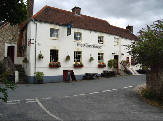
At the foot of the Downs and perched on a ledge above the Wild Brooks, Amberley has long been recognized as one of England’s most picturesque villages. Until recently, walkers would find all their refreshment needs met at The Black Horse on the main street. Now the fate of that estimable hostelry hangs in the balance. Taking advantage of the endemic of pub-closings now wracking England, a developer has bought it and intends to convert it into a couple of high price residences.
But he has reckoned without the indomitable community spirit of Amberley. Every window in the village boasts a sign, ‘Save the Black Horse’. The grassroots energy and commitment are positively American.

Blackhorse Pub in Amberly
Amberley has done it before. When the Drainage Board threatened the Wild Brooks a decade or so ago, they were sent packing, which had never happened to that powerful body before. And when a bridge over one of its many streams collapsed, the village got a squad of Her Majesty’s Ghurkas to rebuild it into a beautiful little suspension bridge.
Still, the developer is appealing. If you ever plan to come down off Amberley Mount in hopes of slaking your thirst, let the County Council know that you support the reopening of The Black Horse.

Amy Urquhart enjoying a Well-Deserved Ale … instead of an Easter Egg!
Thomas Urquhart is a board member of IAT Maine. His family – starting with his great-grandparents – has owned a house in Amberley for more than a century, and he has been enjoying the surrounding South Downs – first as a resident, more recently as a visitor – all his life. His love for this special region is described in his book, For the Beauty of the Earth.

Katahdin Brook Lean-to Complete

Katahdin Brook Campsite Completed
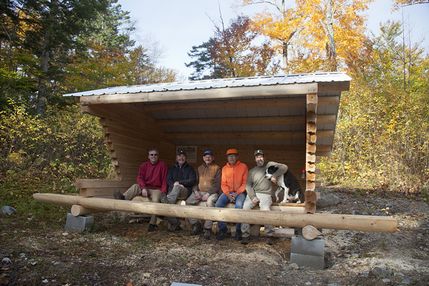
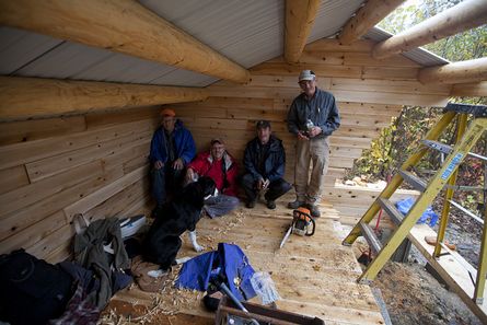
The new Katahdin Brook lean-to is completed.
The newest campsite along the International Appalachian Trail in Maine was completed during two work trips in late September and early October. The Katahdin Brook lean-to is located a few hundred feet east of Baxter State Park, and just a short walk from the Park’s newest addition — Katahdin Lake. The donation to the Park of a 143-acre inholding on the southeast shore of the lake by the Huber family — part of the old "Keep Lot" — triggered the lean-to building project. Now that it owns the land along Katahdin Brook, it made sense to the Park’s leaders to re-route the IAT along the north side of the brook, from the outlet at the lake, past Rocky Pond, and on out to the boundary. When completed within a year or two, the new trail section will provide a more direct route for hikers into and out of the Park. The new campsite, more importantly, provides a camping opportunity for south-bound hikers whose arrangements for camping within the Park may have not been completed. When Maine Chapter President Don Hudson and long-time trail surveyor Earl Raymond met with Park Director Jensen Bissell in late June to discuss the new trail opportunity, Jensen expressed hope that the Chapter might consider constructing a new campsite sometime within the coming few years.
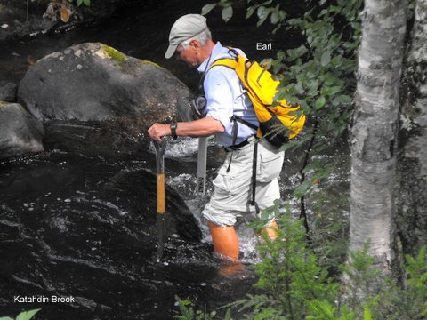
Earl Raymond Crossing Katahdin Brook
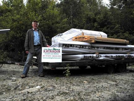
Thanks to the work of long-time Maine Chapter Vice-President Torrey Sylvester, Katahdin Log Homes of Oakfield agreed in July to donate a cedar and spruce log kit for the lean-to — their 7th in 15 years! Torrey secured a donation of the metal roofing from Kauffman Metals of Smyrna Mills in early September, and the project was on. As with all eight previous lean-to projects since the first on Mars Hill in 1997, Torrey took responsibility for hauling everything — base logs, walls, floor, purlins and roofing material — on a large trailer into the woods east of Wassataquoik Stream. On the appointed morning in late September, Torrey met work trip coordinator Dave Rand, chief cook Walter Anderson, Herb Hartman, Cliff Young, Bill Duffy, Bob Johnston and Kirk St. Peter, and over the course of the next two days everything was ferried to the new campsite. Woods roads built by the previous landowner have been substantially decommissioned by Elliotsville Plantation, Inc., and it was felt that 2012 might be the last year that vehicles could be used to assist with such a project. The crew managed to set and level the four base logs for the lean-to before departing the woods on Sunday morning September 23rd.
Torrey Sylvester with Lean-To Delivery
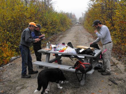
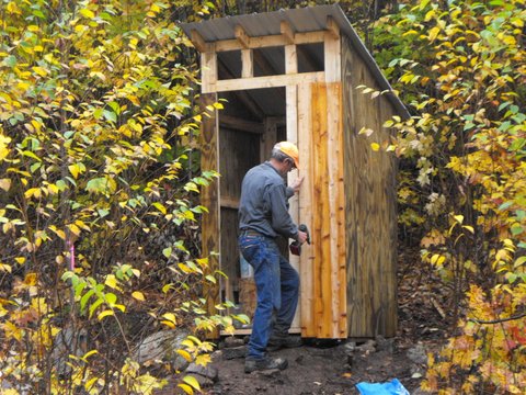
A second crew assembled early Friday morning, October 5th, in Medway. Lead again by Dave Rand, Walter Anderson, Don Hudson, Bob Johnston and Bill Duffy recommenced the work that afternoon. Bob Johnston built and donated a table for the campsite, and it was delivered Friday afternoon by the crew. Ed Friedman joined the crew on Saturday morning. With a storm on the western horizon, and with the able direction of Bill Duffy, the group managed to get the last of the roofing material secured to the purlins by 5:00 pm Saturday afternoon. While the others worked on the lean-to, Dave assembled the outhouse kit that he had prepared several years ago for just such a deployment. Sunday morning dawned clear and cold, and the final touches to the lean-to and outhouse were completed by 8:00 am.

Dave Rand, Don Hudson, Bill Duffy and Trip with New Table Donated by Bob Johnston

Bob Johnston Working on Deacons Seat

Wrapping up at End of First Day

Laying Courses

First Piece of Roofing

Waiting out a Downpour

Dave finishing up Privy
Once the new trail section is completed within the Park, the Maine Chapter will complete the short 300-foot trail from the boundary to the lean-to. A kiosk on the boundary will introduce south-bound hikers to the Park and north-bound hikers to the IAT — in Maine, through Canada and across the broad stretch of the North Atlantic basin to Morocco.

Nimblewill Nomad Completes ALL Eleven of America’s National Scenic Trails!

Nimblewill Nomad at the summit of Monadnock Mountain

Dick Anderson, Nimblewill Nomad and Rick Guhse
Nimblewill Nomad, the first thru hiker of IAT – Katahdin to Belle Isle completes his trek on the NET (New England Trail which makes him the second hiker to complete of all 11 of America’s National Scenic Trails! You can read his journals of this hike and all the others at www.nimblewillnomad.com.
Dick Anderson, IAT founder and Maine Chapter Treasurer, greeted Nimblewill at the completion of his journey at the foot of Monadnock Mountain in Jaffrey, New Hampshire (shown in photo above of Nimblewill Nomad at the summit of Monadnock and with Dick Anderson and Rick Guhse, Alabama Hiking Trail Society).
Dick has had many adventures with Nimblewill; including trail work on Mars Hill Mountain, an overnight on the summit of Quebec’s Mont Logan and oysters in Key West on Scott Gallaway Day. “ It was a real honor that I got to be one of the first to congratulate Nimblewill on his spectacular achievement” Dick said. “Nimblewill has added a spectacular feat to his Triple Crown, one that will not soon be equaled. The legendary Nimblewill has made significant contributions to the development of the International Appalachian Trail and all the other long distance hiking trails in the United States”. Bill Duffy, Maine IAT Board member, also joined the congratulating group and took the pictures.
Nimblewill, a retired optometrist, born and raised in the Ozark Highlands of Missouri started hiking and backpacking in the early eighties. During that time he hiked a good bit of the Florida Trail and about half of the Appalachian Trail, from Springer Mountain Georgia to Duncannon Pennsylvania, all in jerks and starts over a period of fifteen or so years. In January 1998, he set out on his first uninterrupted long distance hike. That trek began on the Florida Trail, thence continued to the Cliffs of Forillon, Cap Gaspé Quebec, a distance of over 4,000 miles, making him the second thru hiker of the IAT-Katahdin to Cap Gaspe. His second thru hike of the IAT and Eastern Continental Trail (ECT) took him from Key West to the Island of Belle Isle at the northern tip of the Island of Newfoundland making him the first IAT thru hiker to complete Katahdin to Crow Head, Newfoundland/Labrador.
You can read all about Nimblewill’s journeys and inspirations in his published books,Ten Million Steps and Where Less the Path is Worn. These books will fascinate everyone who has ever thought about how romantic it would be to walk for 4,400 miles along the east coast of North America. It is a journey of the mind as well as the body. The Nimblewill tells the story of his journey in a way that deftly mixes practical considerations and philosophical musings.
He is a remarkable man and truly an inspiration to all who love the outdoors.

Faroe Islands IAT Coordinator meets with Maine Chapter Board Members

(L-R) Will Richard, Geraldine Wolfe, Lis Mortensen, Walter Anderson, Lindsay Dorney, Richard Anderson, Ann Anderson
On August 1 Maine IAT Chapter Board members; Walter Anderson, Will Richard, Dick Anderson and Don Hudson had the opportunity to host a dinner in Freeport , Maine, USA with Lis Mortensen, IAT Coordinator in the Faroe Islands. Lis was here to attend a conference and took the opportunity to share dinner with the Maine IAT folks and learn more about how the IAT is developed and maintained in Maine. The Maine Board members gave her lots of ideas that she thought would be helpful in getting the trail organized in the Faroe Islands. Maine pledged to give Lis all necessary support as she works to get the IAT Chapter organized in the Faroe Islands.