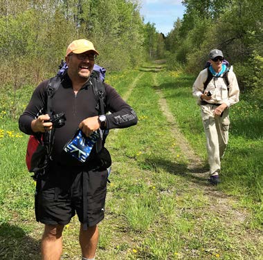
Why in the world would two southbound (SOBO) Appalachian Trail (AT) thru-hikers start at the U.S./Canada border crossing in Fort Fairfield, Maine? Well…because both their Pacific Crest Trail (PCT) and Continental Divide Trail (CDT) hikes started (and ended) at an international border! Therefore, Barney “Scout” Mann and John “Rolling Thunder” or “RT” Henzell started their AT thru-hike at the northern terminus of the International Appalachian Trail (IAT) in Maine – the border crossing in Fort Fairfield – on May 27, 2017. It was a beautiful, sunny spring day in northern Maine, albeit with the typical complement of black flies in attendance. My husband, Kirk, and I met them and Scout’s wife Sandy (trail name “Frodo”) for breakfast at Subway in Fort Fairfield to go over maps and offer some advice.
Earth Day
Happy Earth Day!
Thank you to everyone who has been involved with the IAT. Today, we are celebrating 23 years of successfully moving ahead on the idea of "thinking beyond borders" and expanding and improving the International Appalachian Trail.
The vision to build a hiking trail through the northern Appalachian Mountains was proposed at a news conference on Earth Day, April 22, 1994, in Portland, Maine, by former Maine Governor Joseph E. Brennan and Maine conservationists Dick Anderson, Don Hudson, Cloe Chunn and Dick Davies. It was designed as a project that would give Mainers an opportunity to work with and get to know their Canadian neighbors by using the geology of the landscape as a guide to link us together with a narrow walking path.
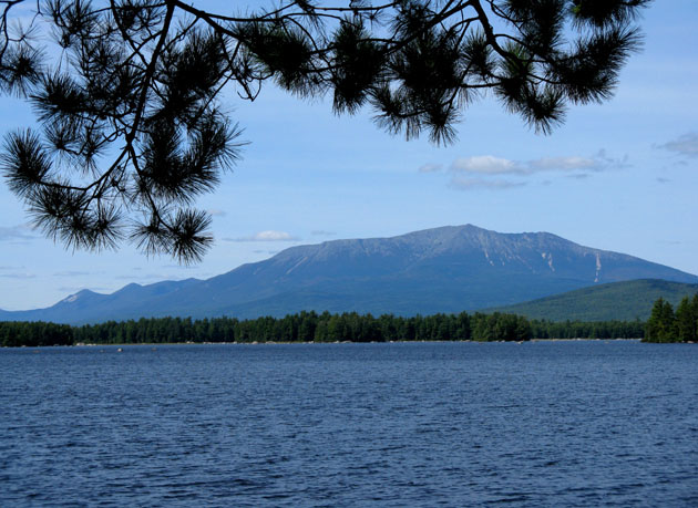
The plan was to work with New Brunswick and Quebec to develop a hiking trail that followed the Appalachian Mountains, from Maine’s Katahdin to Mount Carleton in New Brunswick and then on to Mont Jacques Cartier in Quebec’s Gaspé Peninsular.
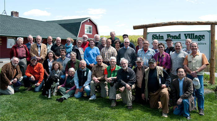
And look at us now! Thank you for your support over the past 23 years. We hope you can continue to be members of this wonderful organization and join us at our annual meeting in Shin Pond on May 18 – 20.
Governor Joe Brennan named as an IAT Honorary Director
On April 10, 2017, we honored Governor Joe Brennan for helping us launch the International Appalachian Trail – on Earth Day 1993. Joe joked about being the puppet for Dick Anderson puppeteer. Herb Hartman, Bob Marvinney, Walter Anderson, and Elizabeth Swain all worked in the Brennan administration. Bill Nichols was at lunch too – our first Honorary Director, and the first treasurer of the IAT in Maine. Thanks, Joe and Bill, for being our first champions and our first Honorary Directors.
The IAT in Baxter State Park and the Katahdin Woods and Waters National Monument
At their meeting in December, the Baxter State Park Authority closed access to Katahdin Lake along the route from the east while the park evaluates the potential impacts of the new Katahdin Woods and Waters National Monument.
This decision puts a hold on the use of the trail from Avalanche Field to the park boundary, which the IAT has used for about a dozen years. Anyone who wishes to begin a walk on the IAT at Baxter Peak should plan to leave the park at the Togue Pond gate in the south or the Matagamon gate in the north, although the latter, shorter route eliminates the attractive East Branch Penobscot section of the IAT. Hikers without their own vehicle can find a shuttle service in the greater Millinocket area to ferry them to Mile 12 on the monument’s Katahdin Loop Road, from where they can head north on the IAT. Southbound hikers on the IAT should make arrangements for pick-up at the same point — Mile 12 on the Loop Road — before they enter the national monument. Telephone and internet are available at Shin Pond Village.
The Maine Chapter is updating the IAT Maine trail map and the trail route description, as well as notes about shuttle services, which will be available at the MCIAT website on May 1st or shortly thereafter.
Staff of the Katahdin Woods and Waters National Monument have begun the formal planning process for this newest unit of the National Park Service. The Maine Chapter is well represented in the planning process, and will keep IAT members and friends informed on important meetings and decisions that affect the trail route, campsites, and access to Baxter State Park from the east. A number of potential routes from the national monument into the park will be explored this summer and fall.
Finally, owing to these changes, the Katahdin Brook Campsite will be closed this spring, with plans to move the lean-to to another temporary location while route changes are explored and evaluated.
Anyone planning a hike on the IAT in Maine should be sure to check www.internationalatmaine.org for news and updates on the trail, and www.nps.gov/kaww/ for monument news, maps that show the IAT, access to the Katahdin Loop Road from Stacyville, campsites, and road conditions.
Save the Date!Maine Chapter Annual Meeting
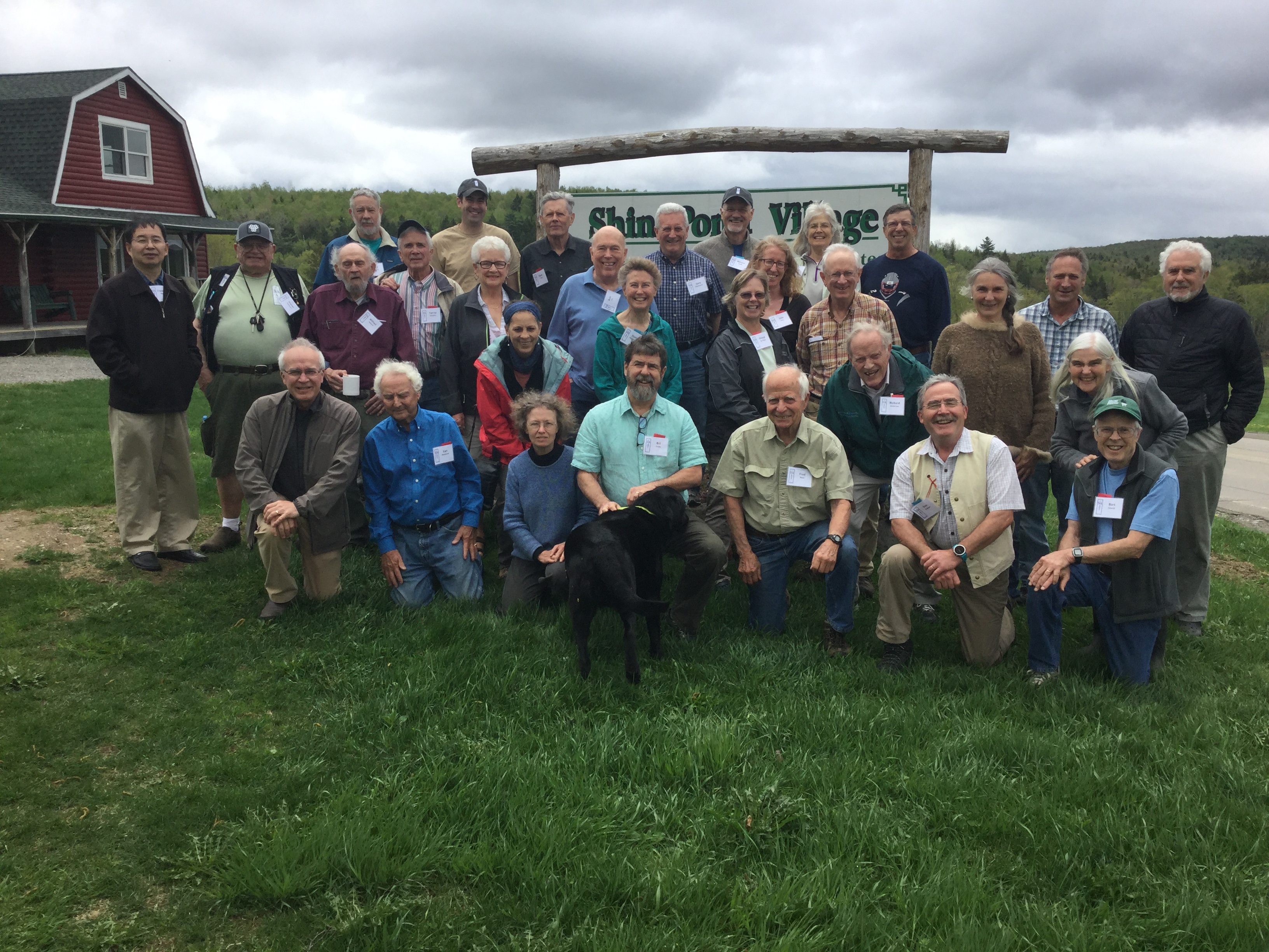
Mark your calendars! May 18 – 20th will be the dates for the Maine IAT Annual Meeting to be held at Shin Pond Village!
There will be a full agenda with presentations on the KWWNM. A full agenda and registration form will be sent soon. For now, be sure to put the dates on your calendar.
Terry of Shin Pond Village has become a supporter of KWWNM
The Katahdin Woods and Waters National Monument is already spurring small business growth and helping the Katahdin region heal.
As the owners of Shin Pond Village, my husband Craig and I can attest to the monument’s positive economic impact. In September and October, we got our first real glimpse at what a monument can mean for nearby businesses and communities. More people than ever were calling us to ask about the monument and book space with us and spend dollars that flow through our small business into those of our neighbors and our community.
Alaska – Yukon IAT Chapter?
On February 1 2017, Our President Don Hudson and I travelled to the University of Maine at Farmington to attend Natural Sciences Seminar entitled; "The Geobiological Insights into the Tectonic Evolution of North America" and "Tectonics of Western North America: Late Paleozoic and Through Time"; by Dr. Justin Strauss of Dartmouth College.
Recent Arctic research including extensive field mapping, enhanced techniques in radiometric dating, paleomagnetic surveys and recent microfossil correlations in the Arctic by Dr. Strauss and his colleagues revealed evidence that as the super continent of Pangea drifted into Earth’s northern latitudes, subsequent Arctic plate rotation dislocated a piece of Appalachian terrane from northeast North America, and repositioned it, east-west, along the north slope of Arctic Alaska and the Yukon! Astonishing!
Dr. Straus’ presentation was formally delivered at the Annual Meeting of the Geological Society of America in 2016. His research included collaboration and review from Arctic geologists from: The Yukon Geological Survey; University of Iowa; British Columbia Geological Survey; United States Geological Survey; Geological Survey of Norway; and the Geological Survey of Canada. Our thanks to geologists Doug Reusch (IAT Member) And Julia Daly (IAT Board) of the Geology Department at UMF for hosting the seminar and inviting Don & I to this amazing event.
Restoration Leadership Award goes to Dick Anderson
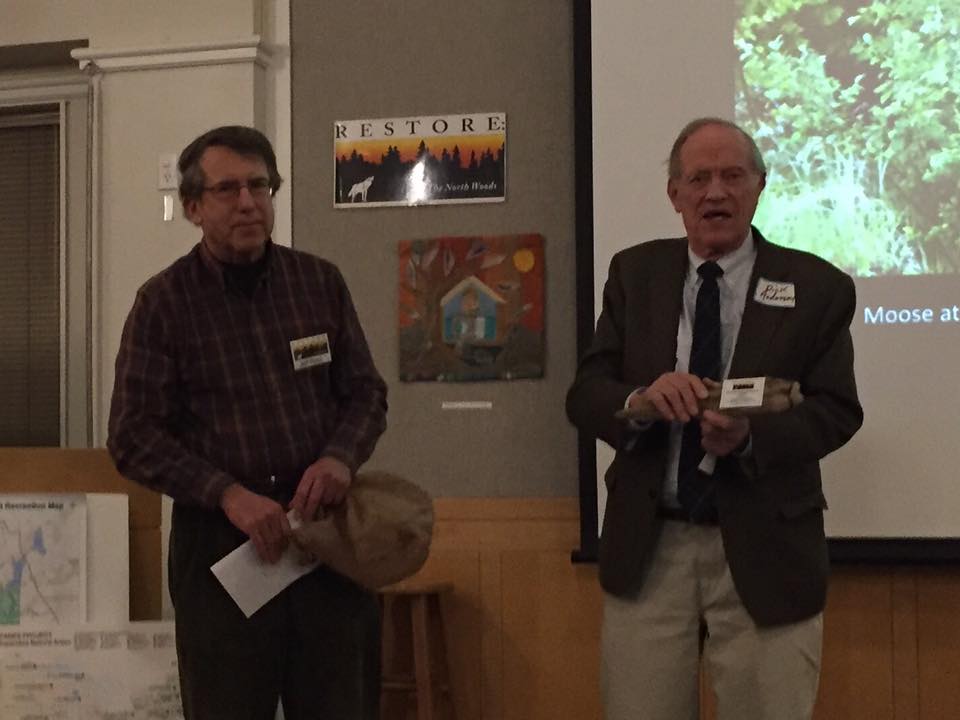
IAT Founder Dick Anderson received a Restoration Leadership Award from RESTORE: The North Woods at a ceremony on Wednesday, December 7th, at the Curtis Memorial Library in Brunswick, Maine. Former colleague at the Department of Conservation Jeff Pidot made special note of Dick’s work to launch the Land for Maine’s Future program in the final days of his tenure as Commissioner of the Department, in addition to the founding of the IAT a few years later. Also recognized at the ceremony with Restoration Leadership Awards were journalist and environmental organizer Lance Tapley, especially for his work to create the Bigelow Preserve, and ecologist Janet McMahon for spearheading the development of Maine’s Ecological Reserve program. The Quimby Family received special recognition for their work to establish the Katahdin Woods & Waters National Monument, and RESTORE Maine Director Jym St. Pierre made a special tribute to the late Phyllis Austin for her lifetime of environmental journalism and advocacy.
Thinking Beyond Borders Presentation
IAT Founder Dick Anderson, Chief IAT Geologist Walter Anderson, and IAT Council Co-chair Don Hudson told the story of the trail to a good crowd at Ocean View at Falmouth on Friday, remembering especially how the idea just popped into Dick’s head in October 1993, and was rolled out by Dick, Joe Brennan, and Don on Earth day 1994.
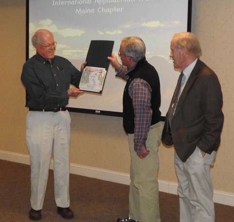
Don and Dick presented Bill Nichols with a certificate appointing him as an Honorary Director of the IAT Maine Chapter in recognition for the work he did as Treasurer in the early years of the IAT.
There’s more to Appalachian Trail than Georgia to Maine … much more
Carey Kish at 7,400 feet on South Rim Chisos Mountains.
For many years, as far as this hiker was concerned, the Appalachian Mountains extended geographically from Georgia to Maine.And when I thru-hiked the 2,100-mile length of the Appalachian Trail from Springer Mountain to Katahdin in 1977, I figured I’d covered the great range from end to end.I didn’t give the matter much more thought until 1994, when the International Appalachian Trail was proposed by Joe Brennan, the former Maine governor, and conservation advocates Dick Anderson and Don Hudson.
That’s when I learned (or perhaps learned anew) that the Appalachian Mountains didn’t terminate in Maine but rather extended far across the border into Canada. In 1997, John Brinda became the first person to thru-hike the new pathway, from the eastern slope of Katahdin across northern Maine into New Brunswick, then on through the Chic-Choc Mountains of Gaspesie National Park to Cap Gaspe in Quebec.
By 2002, the IAT was extended to the tip of Newfoundland at Crow Head, the natural northern terminus of the Appalachian Mountains in North America.It wasn’t enough for the dreamers among the IAT group to stop at an 1,800-mile trail across Maine and three Canadian provinces, however.
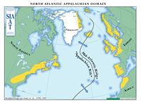
By 2009, plans were under way to extend the IAT across the Atlantic Ocean to Europe and Africa. Huh?
Somewhere among the geography lessons you and I sat through in grade school, we learned about the supercontinent of Pangea, formed some 250 million years ago when the Earth’s continental plates collided to form a continuous land mass. The Appalachian Mountains were created from this great collision, making them the oldest mountains on the planet.
When Pangea began to split 230 million years ago, mountain building ceased as the North American continent drifted northward and the six other continents settled into their current position on the globe. This left remnants of the Appalachian Mountains not only along the eastern seaboard of the U.S. and Canada, but in Europe and North Africa as well. Wow.
It’s little wonder then that the notion of the IAT as not only an international but an intercontinental trail has been actively pursued over the past seven years. Incredibly, there are sections of the IAT in Nova Scotia, Prince Edward Island, Greenland, Iceland, Norway, Sweden, Denmark, Scotland, Northern Ireland, Wales, England, France, Spain, Portugal and Morocco, as well as Maine, New Brunswick, Quebec and Newfoundland, all locations of the ancient Appalachians.
Which brings this story to Texas.
In December I traveled to Big Bend National Park, about 2,000 miles from Maine and 1,100 miles west of the southern tip of the Appalachians as the crow flies. Poking through the visitor center at Panther Junction, I gravitated from the books, maps and souvenirs to the natural history exhibits. And there I made an astounding discovery, at least to me.
With great interest, I read that a natural extension of the Appalachian Mountains once towered above the Big Bend region, created by the same continental forces that formed Pangea. Known as the Ouachita Mountains, they snaked through what is now Alabama, Mississippi, Arkansas, Missouri and Texas. The only exposed remains of this range are found in Arkansas and the Chihuahuan Desert of West Texas. Wow again. I wonder if the IAT folks knew this, I thought.
With the breakup of Pangea, 100 million years of erosion followed, reducing the Ouachita Mountains to a broad plain of rubble. The Cretaceous Sea covered the region, then disappeared. Thrusting and faulting occurred, and then eons of volcanic activity, transforming the geologic face of the Big Bend country into what is visible today.
Big Bend National Park protects 802,000 acres of this stunning mountain and desert landscape, while the adjoining Big Bend Ranch State Park preserves an additional 311,000 acres. On three visits here over six years, I’ve hiked more than 150 miles of trails, from the canyons along the Rio Grande River to 7,825 feet atop Emory Peak in the Chisos Mountains. With every footstep through this country, I am ever amazed that it is physically connected to my beloved Appalachian Mountains.
One day, maybe, the International Appalachian Trail folks will look to expand along this southern extension of the Appalachians, perhaps linking the Pinhoti Trail in Alabama, the Ozark Highlands Trail in Arkansas, the Ozark Trail in Missouri and the Lone Star Trail in East Texas with the trails of Big Bend. Imagine thru-hiking from Morocco to Mexico!