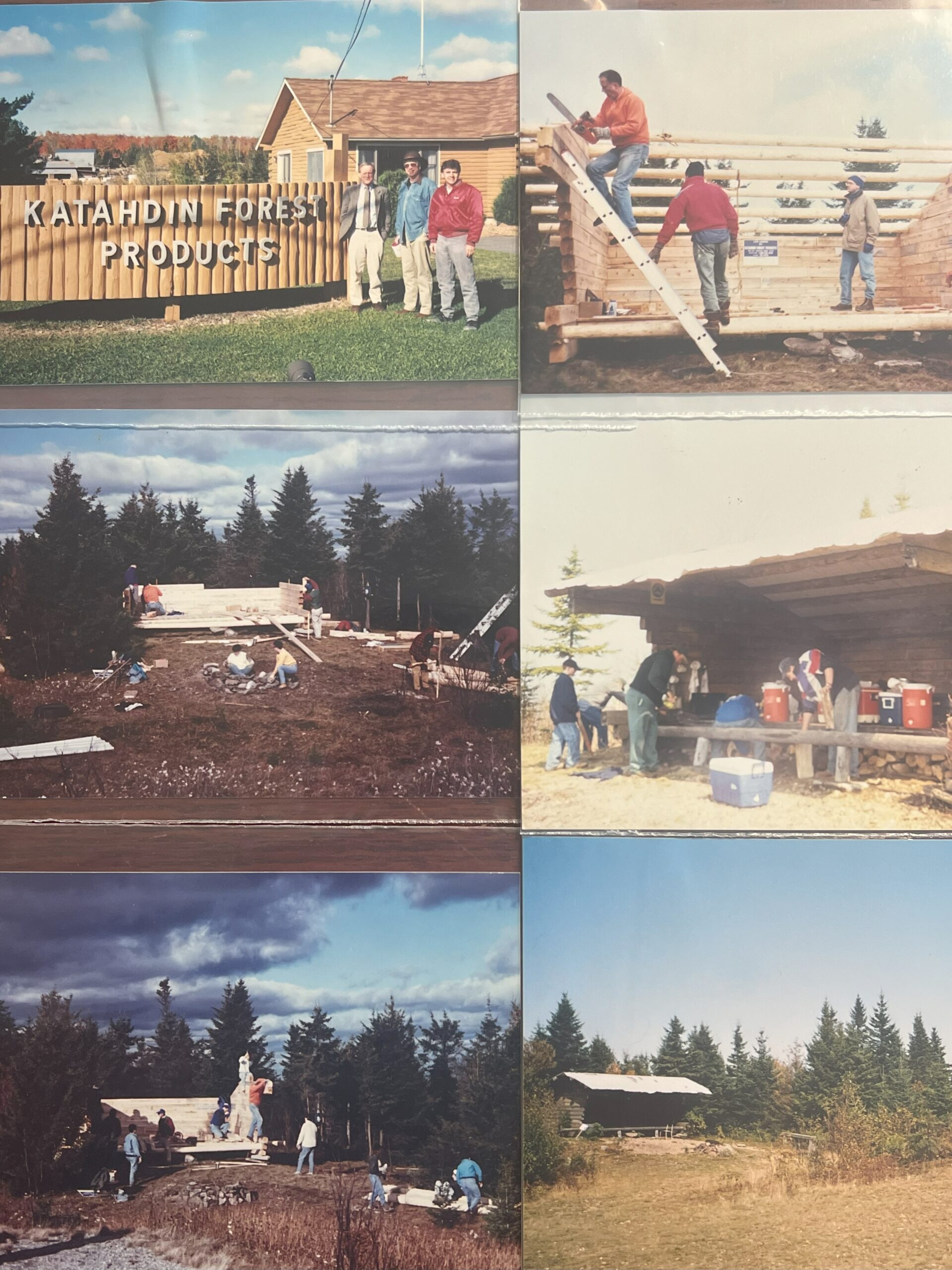

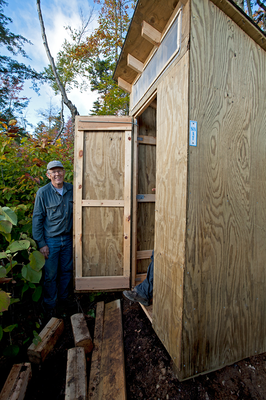
Long-time Maine IAT Board member and trail crew head Dave Rand, passed away on April 10, 2025. Dave became involved with the IAT in 2002. The story told by Dave was that he received an out-of-the-blue phone call by IAT founder and director Dick Anderson asking if he could design and build a prefab privy that would be easy to transport and assemble at lean-tos being planned for the trail in Maine. A somewhat confused Dave, who had been the Principal at the Higgins School in Mapleton, Maine, agreed to give it a shot. Later he found out Dick had meant to call a different “Rand” in the Presque Isle area who was an actual carpenter. By that point the die had been struck and Dave became the Maine IAT’s chief P.E. (Privy Engineer).
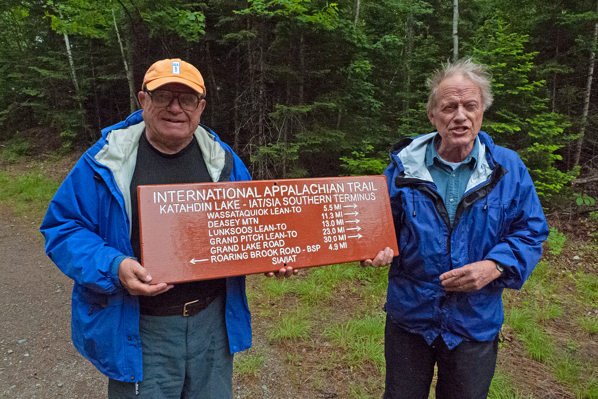
In addition to P.E., Dave also took the lead on trail and lean-to maintenance. This included the historic Deasey Mountain Fire Lookout, which is where I first worked with Dave in September, 2006. The weather was miserable that day and the steep path up the mountain was more of a stream than a trail. Nevertheless, Dave calmly trundled along with a half-dozen 6 foot boards strapped to his back and bags of tools and hardware in each hand to rebuild the lookout door which had blown off the building.
In addition to P.E., Dave also took the lead on trail and lean-to maintenance. This included the historic Deasey Mountain Fire Lookout, which is where I first worked with Dave in September, 2006. The weather was miserable that day and the steep path up the mountain was more of a stream than a trail. Nevertheless, Dave calmly trundled along with a half-dozen 6 foot boards strapped to his back and bags of tools and hardware in each hand to rebuild the lookout door which had blown off the building.
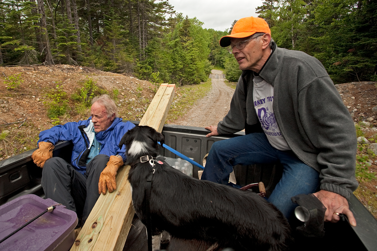
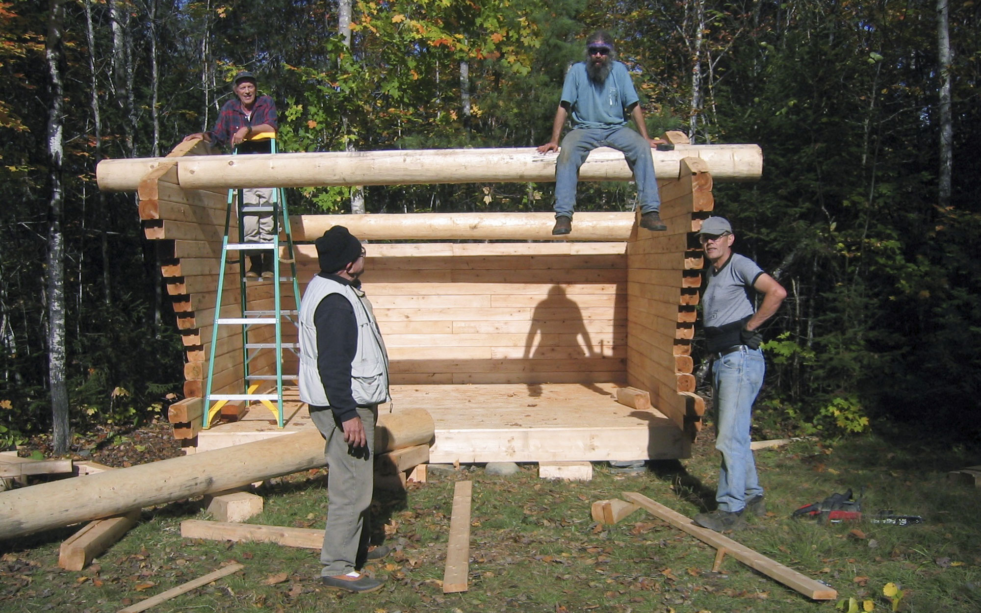
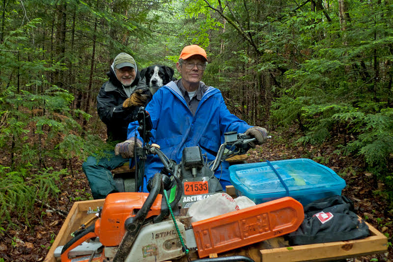
Dave helped construct most of the Maine IAT lean-tos, often hauling timbers and other construction materials in his old blue Ford 150. After all the bridges were removed on the Elliotsville Plantation, Inc. properties (now the Katahdin Woods and Waters National Monument), Dave rigged up his ATV with seats over each rear wheel, a large tool box on the front, and a trailer behind which allowed him to transport tools and trails crew (including my dog) to maintain the lean-tos and trails that were inaccessible from any nearby roads.
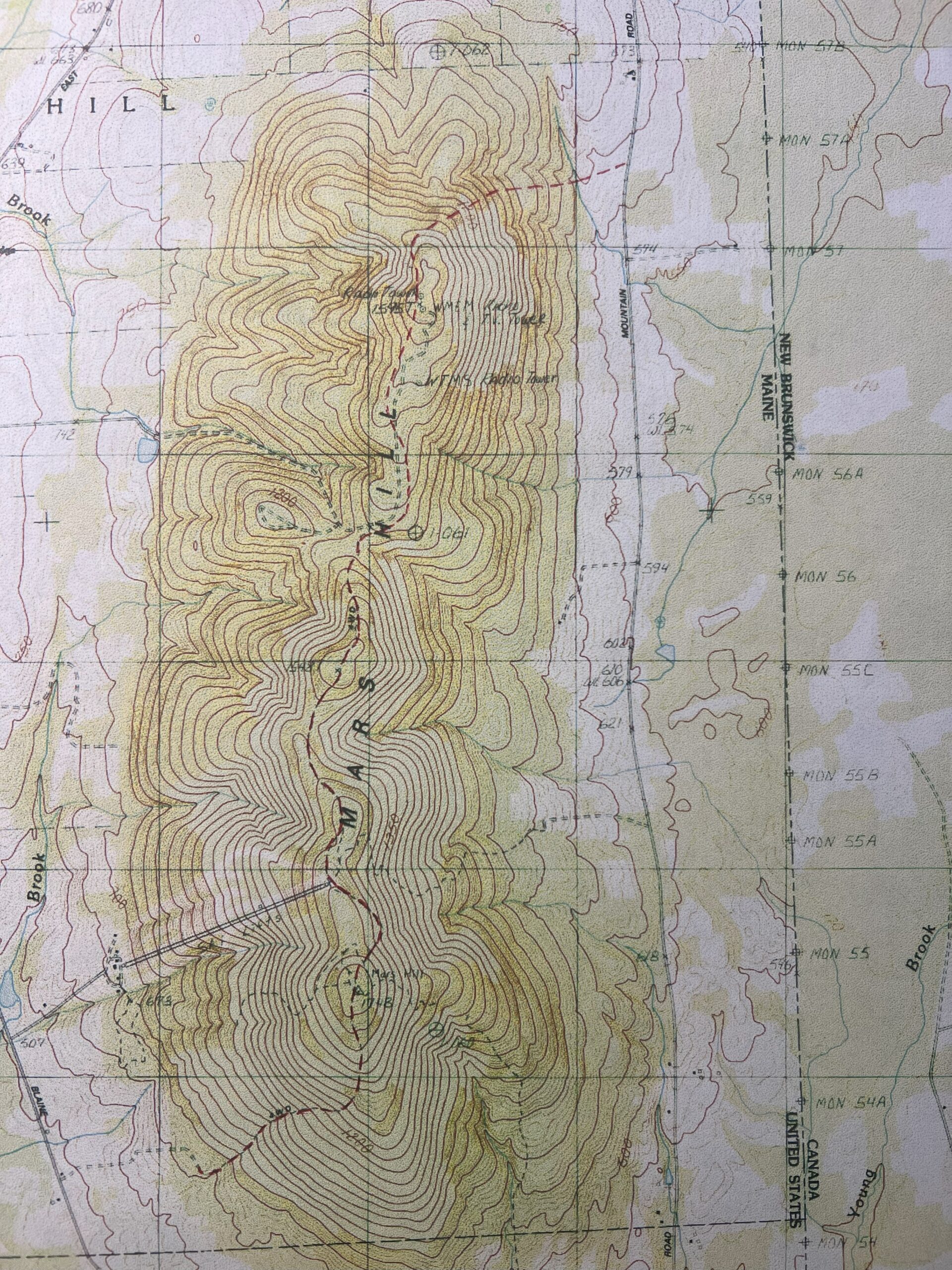
Dave owned a small farm in Washburn and brought many “farmer smarts” to the trail. This included his command of an enormous ditch scythe for quickly clearing blackberry and hobblebush that grew profusely in some sections of the trail. On Mars Hill he used his brush hog to keep a fresh path mowed through an overgrown field.
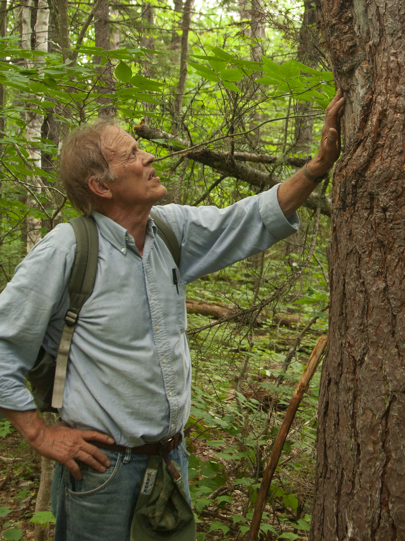
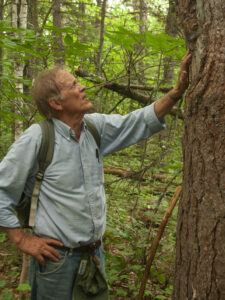
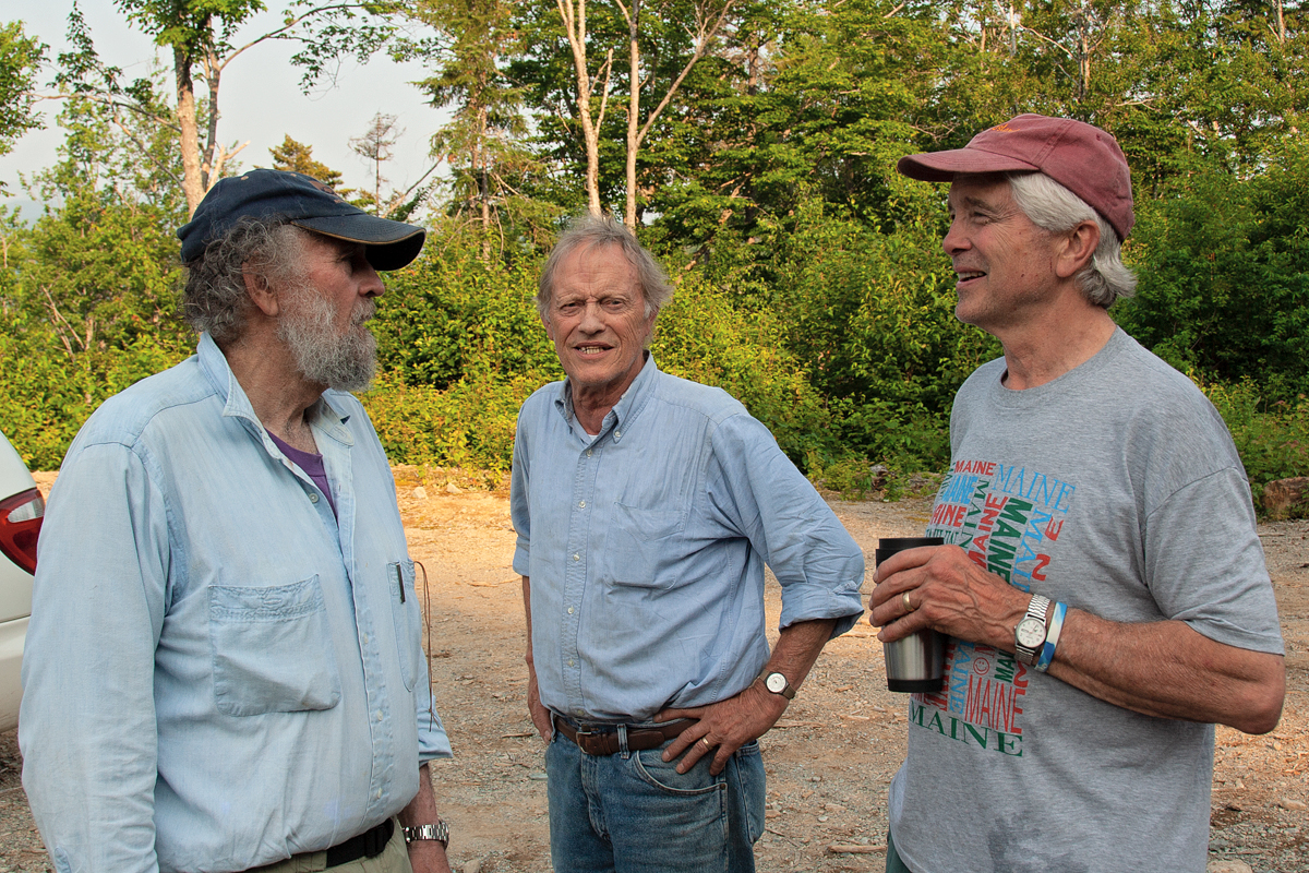
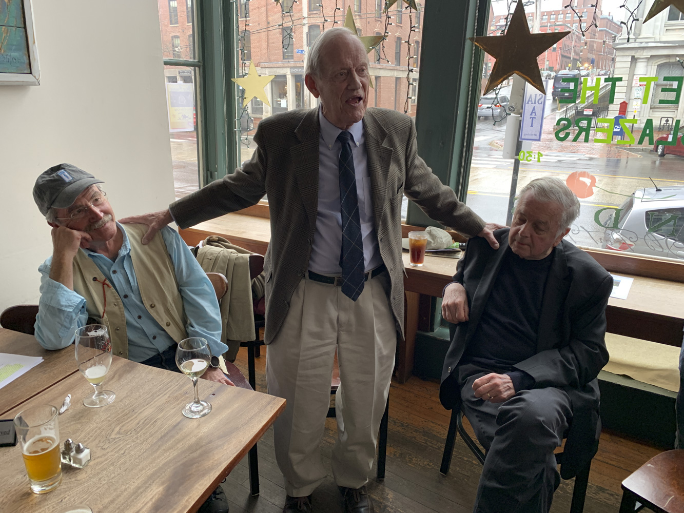
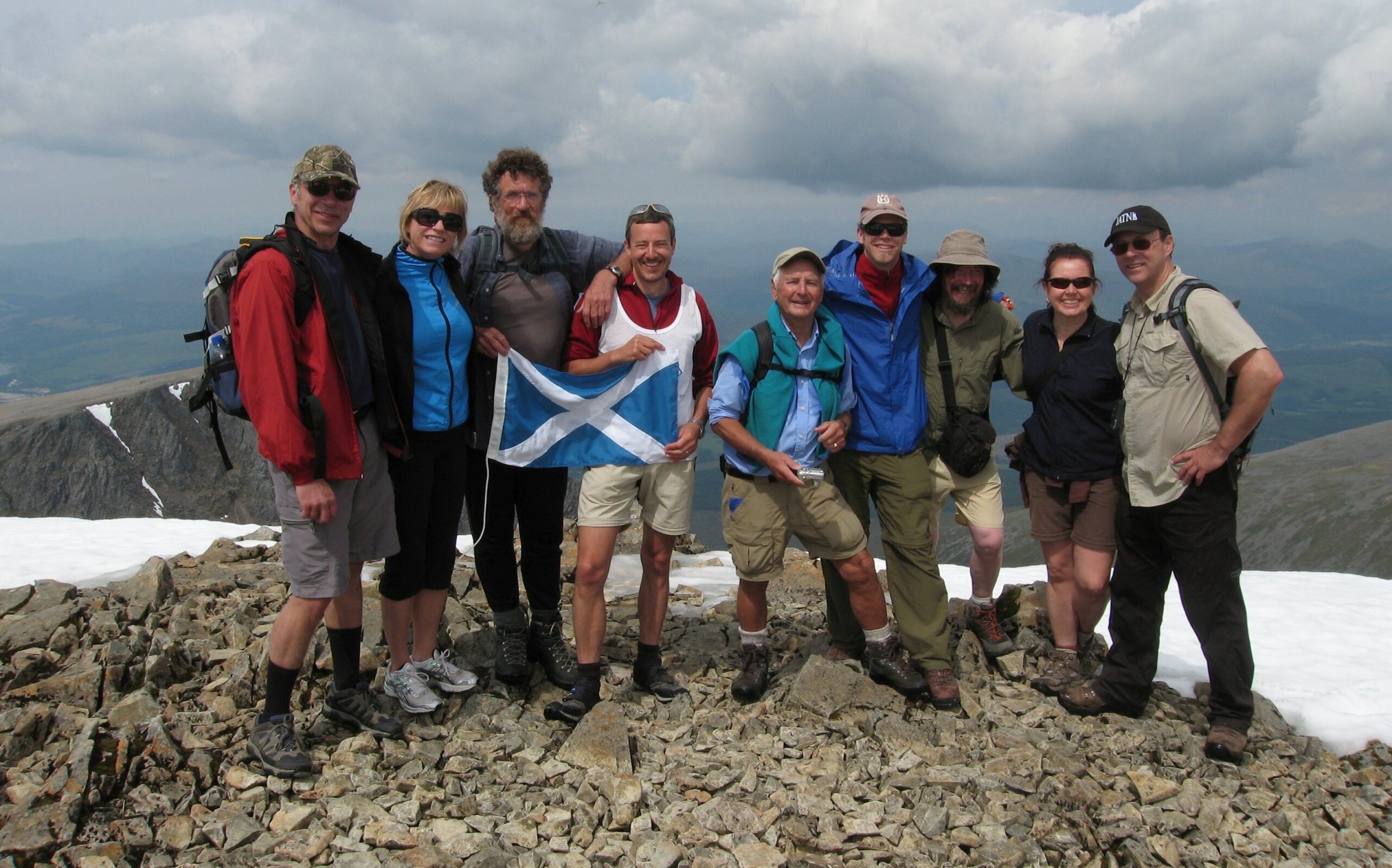
Dave’s greatest asset was his perpetually positive disposition. Even when the weather was foul, the blackflies thick, or some piece of equipment had broken, Dave never uttered a discouraging word. He will be missed!