A few folks canceled before the hike was scheduled to begin, leaving us with six remaining participants. We met as planned at the Sandbank Campground. Nancy received a call from the Steinbrock’s explaining that their GPS directed them to use the Roberts Road from Millinocket to the Swift Brook Road and National Monument. As they headed north the road deteriorated, and they decided that the best course of action was to return to Millinocket.
Now down to four, we set off for the Orin Falls trailhead. The roads are in fairly good condition all the way from Stacyville to the campground and trailhead, easily passable for Virginia’s Tesla.
A short distance into the hike brought us to the junction with the IAT, just before it leaves the old Wassataquoik Tote Road to the Wassataquoik Stream ford and Deasey Mountain.
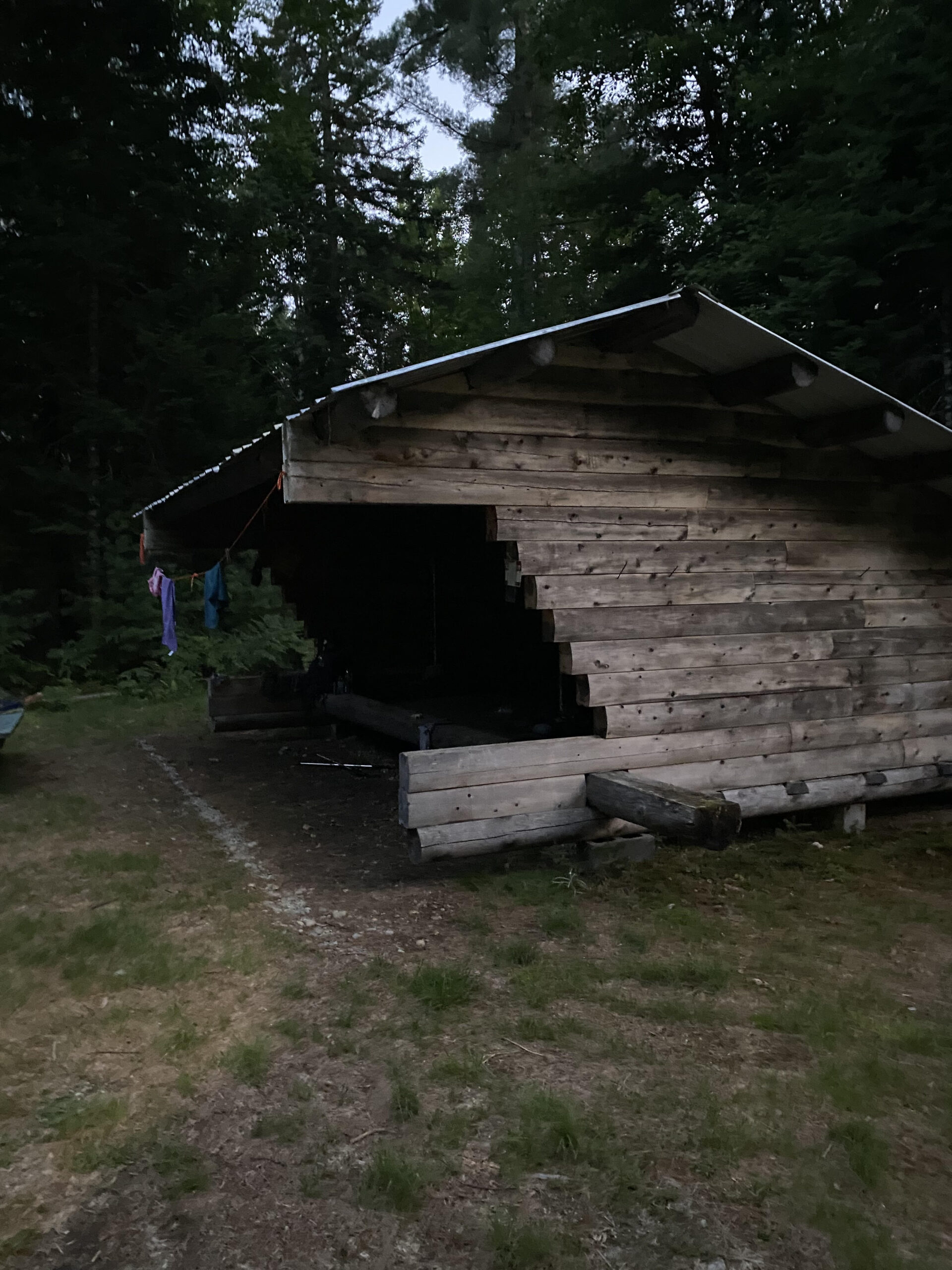
Continuing north we soon reached the Wassataquoik Lean-to. It really is a beautiful setting just after crossing the bridge over Katahdin Brook.
Lean To
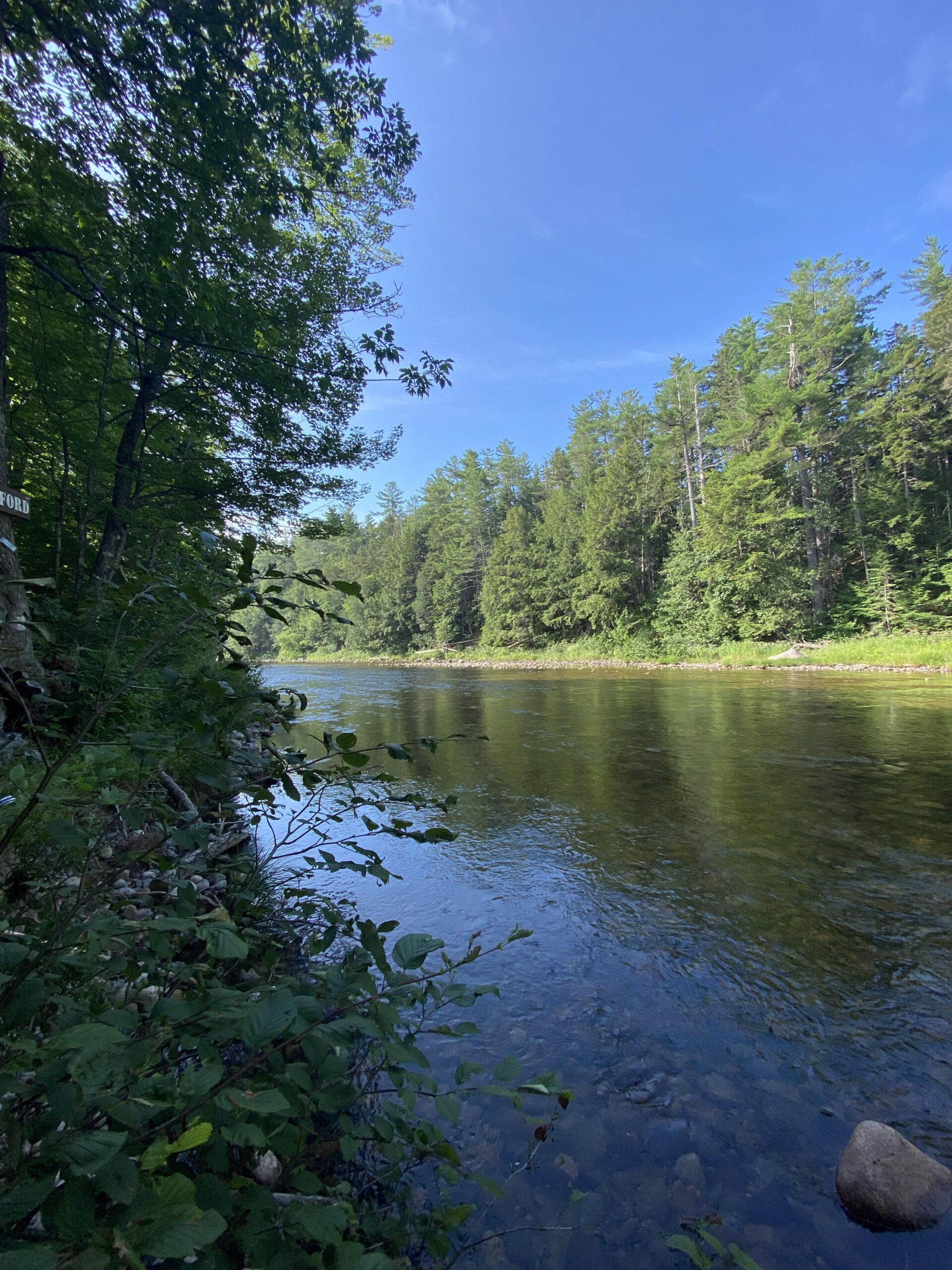
Wassataquoik Stream ford
Continuing north we soon reached the Wassataquoik Lean-to. It really is a beautiful setting just after crossing the bridge over Katahdin Brook.
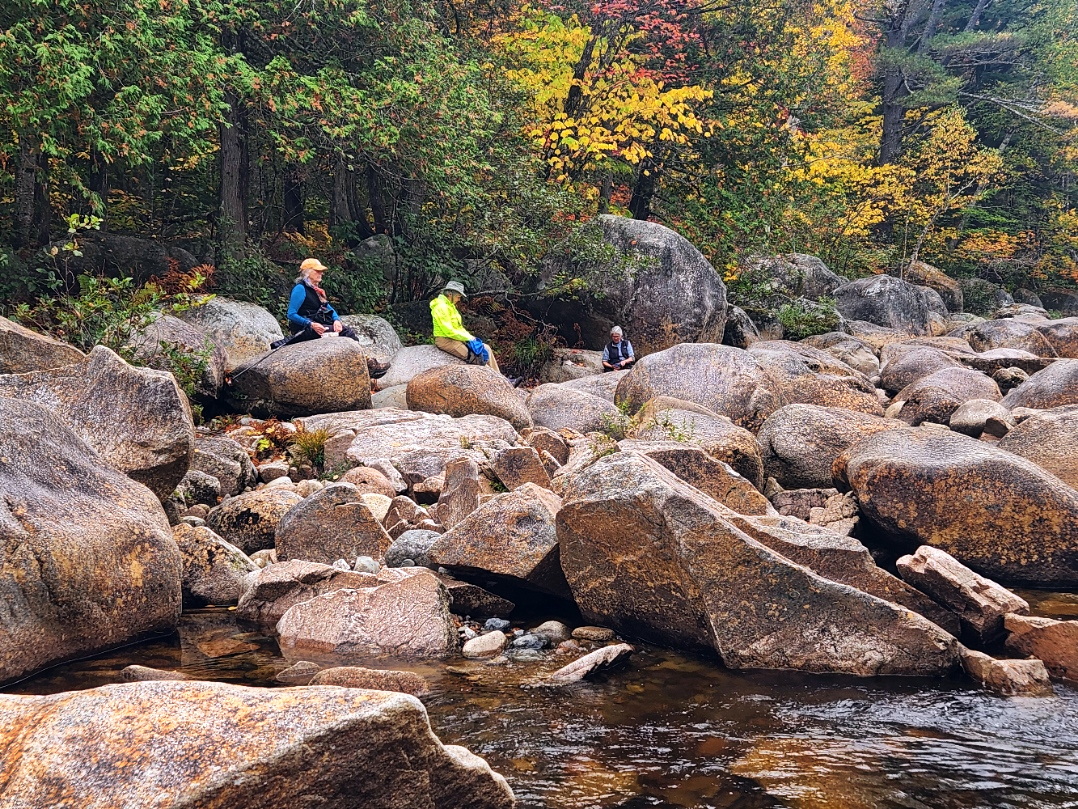
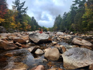
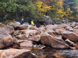
Another mile and a half along the Wassataquoik Tote Road and we could hear the falls ahead and to the north. The short trail on the right is reached which leads to Orin Falls. A jumble of large boulders with several small drops. The rains a couple of days ago made for some good flow. With no dams, the flow is entirely dependent on rainfall this time of year.
Time for a break and a snack before heading back.
The foliage along the trail was at or near peak and the clouds eventually gave way to occasional blue sky.
It was a beautiful day for a hike, and a great time was had by all.