Eddie Woodin makes his 27th gift to the Maine Chapter of the IAT’s Annual Appeal

As we prepare for the season of giving, we’re filled with warmth and gratitude for the incredible generosity of our members and supporters.

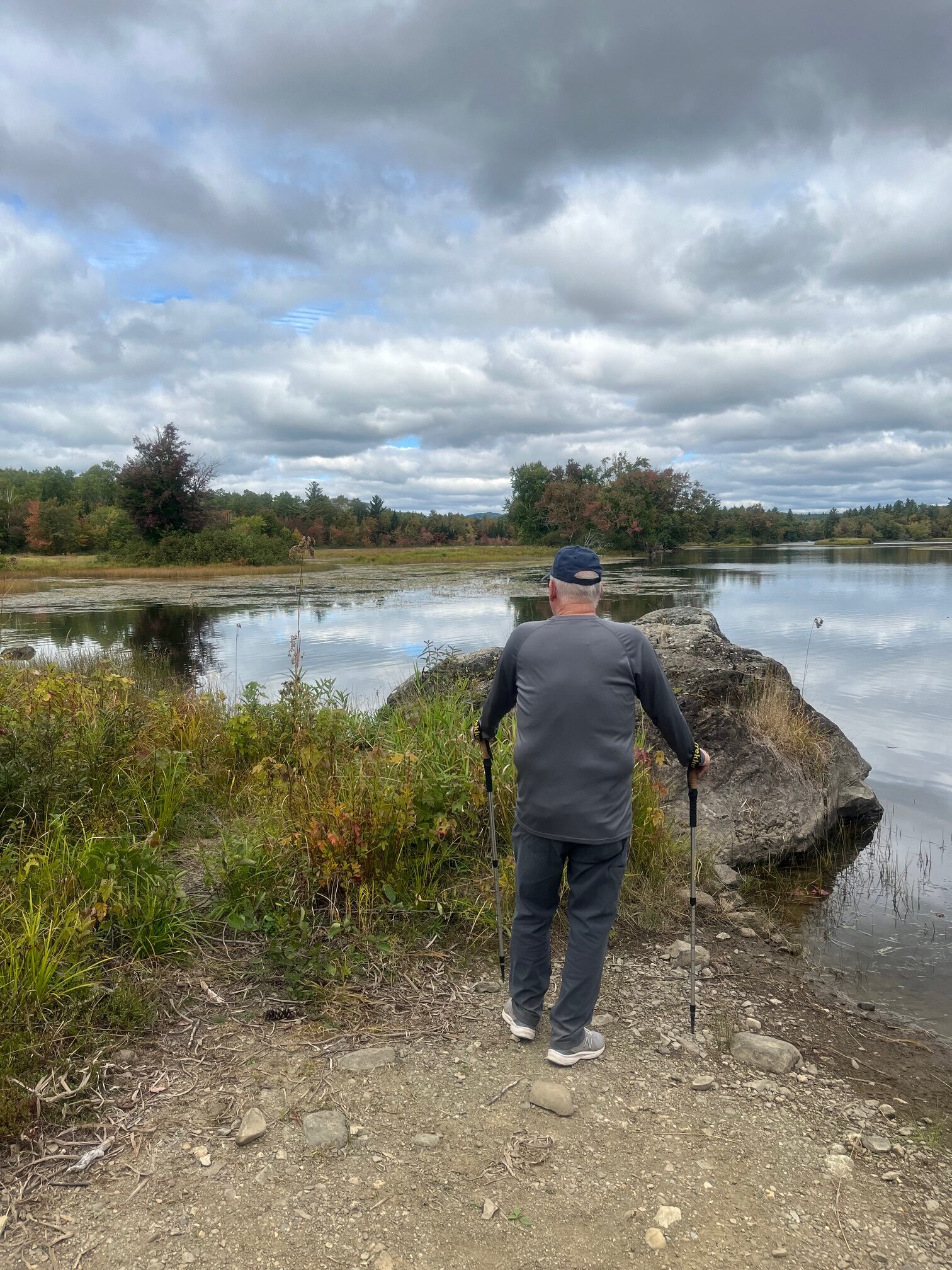
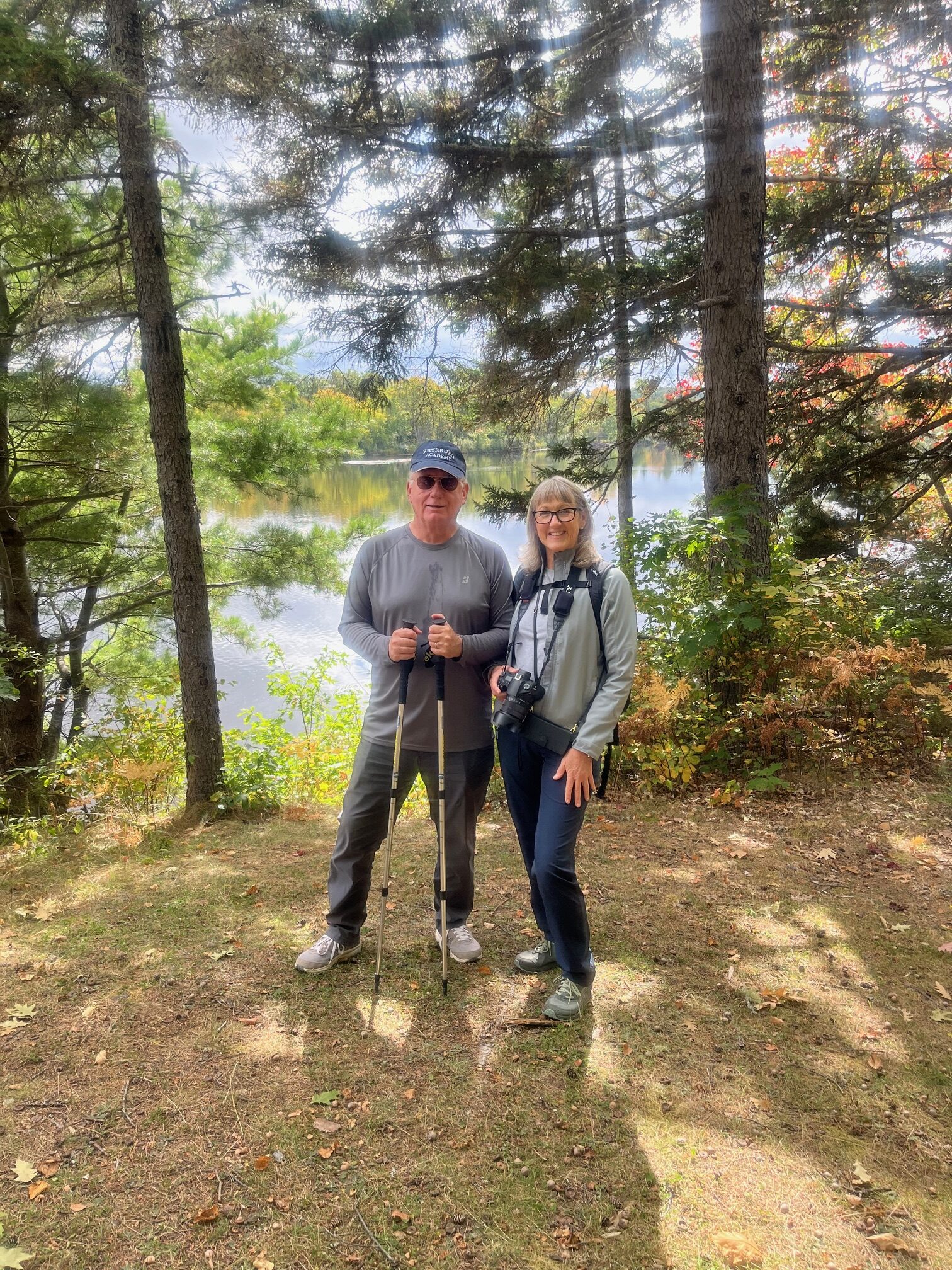
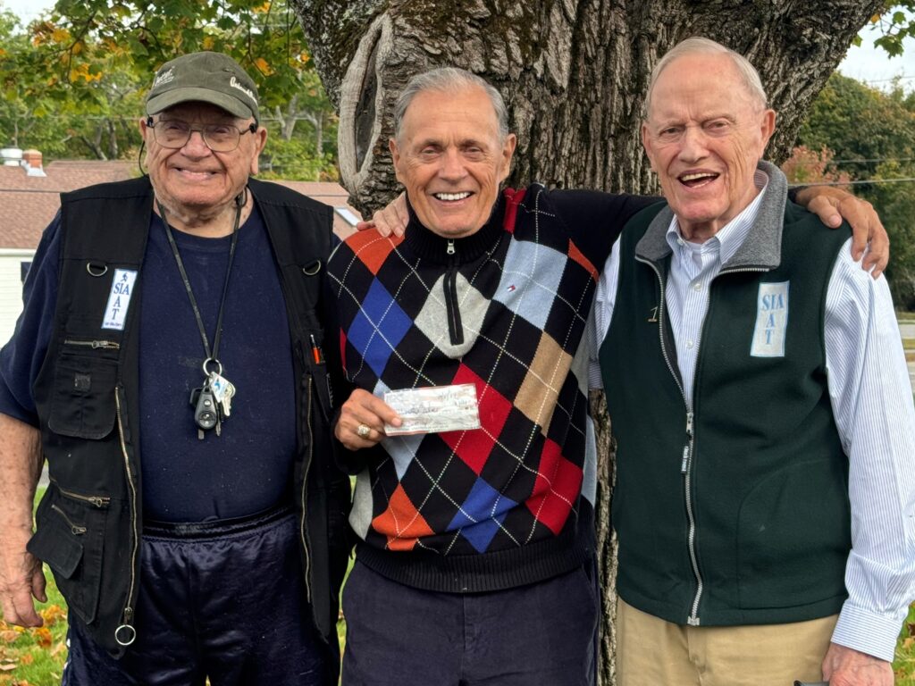
Recently, Dick Anderson, Eddie Woodin, and Walter Anderson celebrated Eddie’s 27th year of support for the International Appalachian Trail.

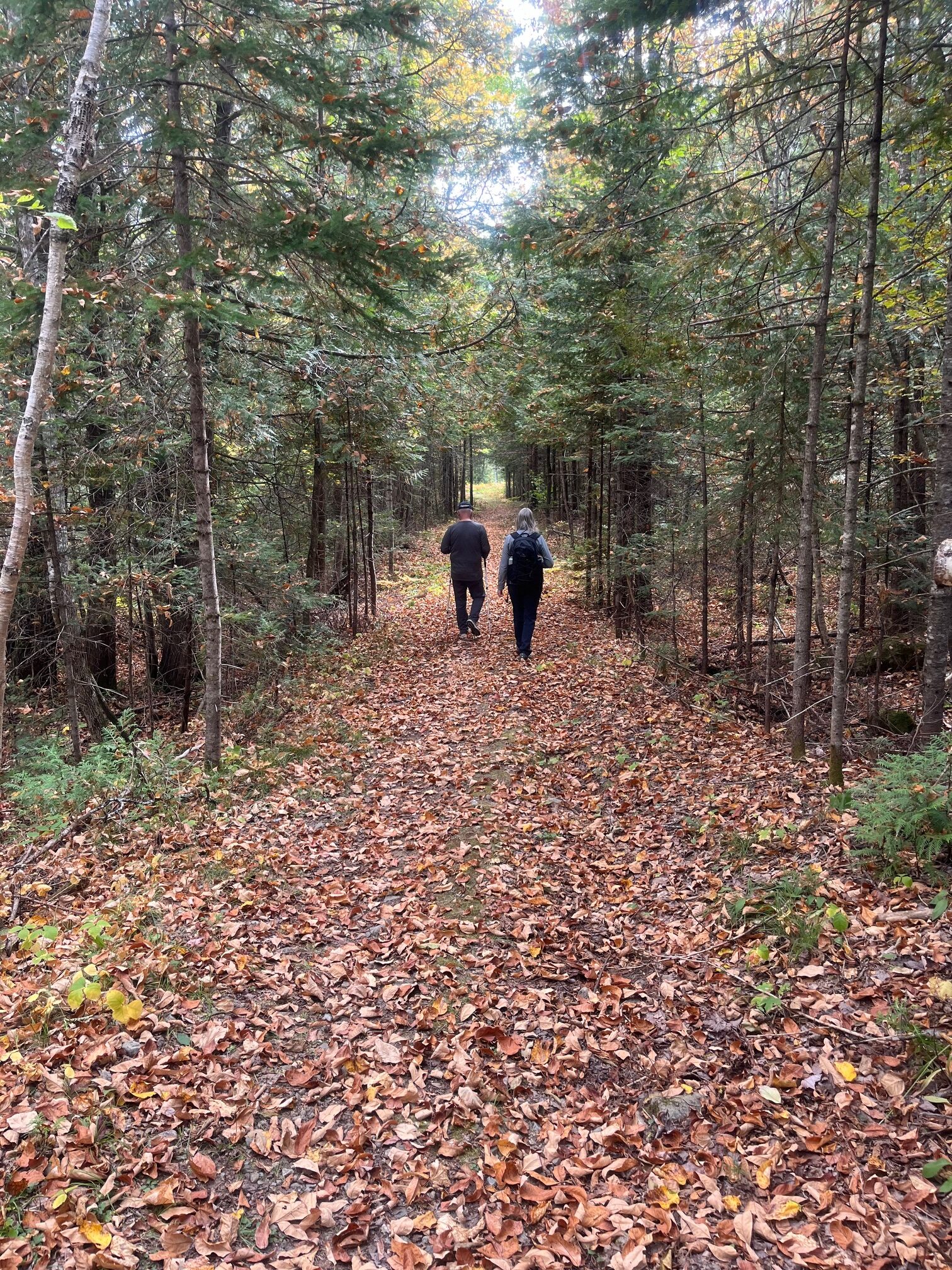
Thanks to Eddie Woodin and many others like him, the Maine Chapter of the IAT is committed to maintaining the footpath that links Maine to Canada, ensuring that everyone has the chance to explore and learn about the diverse natural wonders that connect us all.

This giving season, if you feel inspired to support our mission, we invite you to visit our 2024 Annual Appeal page.

Thank you once again for your unwavering support of the International Appalachian Trail, and thank you to Eddie for his unwavering support through the years!

IAT Sponsored Hike to Orin Falls, led by Cliff Young and Nancy Hathaway

A few folks canceled before the hike was scheduled to begin, leaving us with six remaining participants. We met as planned at the Sandbank Campground. Nancy received a call from the Steinbrock’s explaining that their GPS directed them to use the Roberts Road from Millinocket to the Swift Brook Road and National Monument. As they headed north the road deteriorated, and they decided that the best course of action was to return to Millinocket.

Now down to four, we set off for the Orin Falls trailhead. The roads are in fairly good condition all the way from Stacyville to the campground and trailhead, easily passable for Virginia’s Tesla.

A short distance into the hike brought us to the junction with the IAT, just before it leaves the old Wassataquoik Tote Road to the Wassataquoik Stream ford and Deasey Mountain.

Continuing north we soon reached the Wassataquoik Lean-to. It really is a beautiful setting just after crossing the bridge over Katahdin Brook.

Continuing north we soon reached the Wassataquoik Lean-to. It really is a beautiful setting just after crossing the bridge over Katahdin Brook.

Another mile and a half along the Wassataquoik Tote Road and we could hear the falls ahead and to the north. The short trail on the right is reached which leads to Orin Falls. A jumble of large boulders with several small drops. The rains a couple of days ago made for some good flow. With no dams, the flow is entirely dependent on rainfall this time of year.

Time for a break and a snack before heading back.

The foliage along the trail was at or near peak and the clouds eventually gave way to occasional blue sky.

It was a beautiful day for a hike, and a great time was had by all.

Hike on the IAT (International Appalachian Trail) along the East Branch of the Penobscot River on September 21, 2024, submitted by Milt Stein

It was a perfect autumn day. Partly Sunny with temps in the 60’s. A wonderful day for a leisurely hike along the East Branch of the Penobscot River in The Katahdin Woods and Waters National Monumnent. The foliage was beginning to change to red, yellow, and orange. Passed two fly fishermen on the bridge by the Matagamon Wilderness Campground just before taking the turn to enter The Monument. The gravel road to the Haskell Gate, known as the Messer Pond Road or the New River Road, is in excellent shape and easily passable in any type of vehicle. Went by the Old River Road Loop and the Oxbow Road. I recalled Cross Country skiing there last winter. Excellent conditions, well-groomed by the rangers, splendid views of the mountains at the north end of Baxter Park and of the river. Profoundly wild. A great idea for a day hike on another trip. I continued to the dead-end parking area near the Haskell Gate for the start of our hike.

We ran into a ranger and spoke briefly as we headed out. This part of the International Appalachian Trail is a wide and flat tote road that has an excellent treadway and minimal elevation change. We walked through the woods enjoying conversation on topics of interest, exchanging notes on various places we like to hike and organizations that protect and maintain wild places like this. We observed the many varieties of trees and plants as we walked, and we made our first stop to see the Haskell Hut. The hut is only open for winter camping, but it’s located in a beautiful, quiet spot on a bluff above the East Branch. We saw a bald eagle glide lazily across the river there. And a large skull, presumably a moose, was propped up on a log for our review.

From there we continued to Haskell Deadwater and inspected the campsite and portage trail. Another beautiful, quiet location next to a slow, wide spot on the river, with a view of Bald Mountain in the distance. A little farther along we reached Haskell Rock Pitch and stopped to admire the rips and to take a look at Haskell Rock. We kept meandering along the trail marveling at the quiet beauty and solitude of this place, enjoying the company and the conversation as we walked. We stopped for lunch at the Pond Pitch West campsite, right on the river next to the pitch. Another clean, beautiful campsite. We wanted to keep going, as it was a pleasant, leisurely walk, but based on our mileage, we were looking at a total trip of 7-8 miles and decided to head back after lunch.

On the way back we ran into two backpackers heading in and spoke to them for a few minutes. One of them had camped previously at the Wassataquoik Lean To and the Esker Tent site on the IAT in the southern part of The Monument. He was very enthusiastic about camping along this section of the IAT. He related that the campsites are very well set up and scenic and very wild. As we finished up, we were treated to a view of The Traveler, the tallest mountain in the north end of Baxter State Park. When we got back to our cars we had gone about 7.75 miles in about five hours, including breaks. It passed by very quickly. We were living in the moment, taking it all in. An absolutely beautiful walk in an easily accessible and remote wilderness.