Monday, August 31th to Wednesday, September 3rd, 2020
Humans: Bill Duffy and Jude Eldridge
Dogs: Trip and Dodger
Monday, August 31.
Arrived at Bowlin Camps at 8:30am on Monday and parked our truck by the work shed near their road grading equipment.
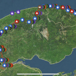
I was interested to try out the newly released Guthook Guide smartphone app for the IAT on this trip. The app displays the trail and “points of interest” (POIs) along the trail on a topographic map or satellite image background. A user can add their own waypoints as they hike to mark features (like blowdowns) and can add comments to POIs stored in the app, for example, noting a missing signpost or a confusing trail intersection. The app uses GPS to track your location and displays the distance to the next POI. It also indicates your “mile point” along the trail, i.e., your distance from the beginning or end the IAT for that particular Chapter. In our case, we used the distance from the beginning of the Maine IAT on the Katahdin Loop Road. I’ll list those in the report below.
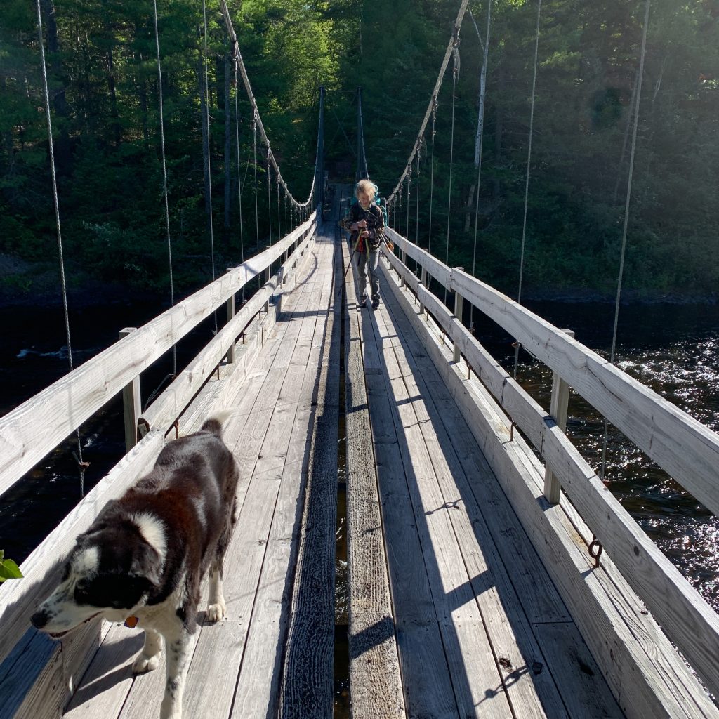
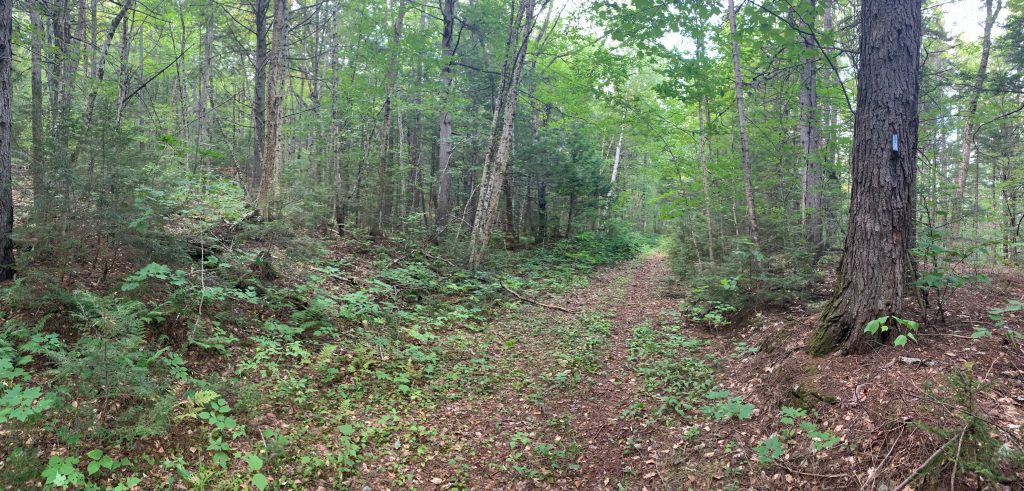
We hit the trail shortly after arriving, crossing the East Branch on the Bowlin suspension bridge and heading south at the junction (Mile 19.9). Overall, this section of trail was in good shape with just a few areas of knee-high overgrowth.
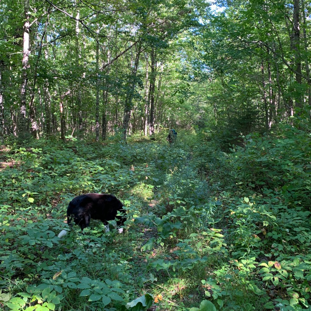
We cleared a few blowdowns along the way using a handsaw, but, since we were carrying full packs, left a couple of others that were easy to walk around or step over.
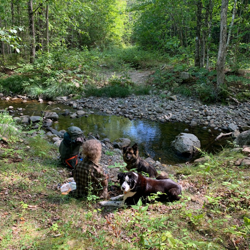
After a late breakfast/early lunch stop at Little Spring Brook, we arrived at the junction of the Old Telos Tote Rd and the Spring Brook Trail (Mile 16.6) at around noon, finding the signpost knocked down and laying in the woods.
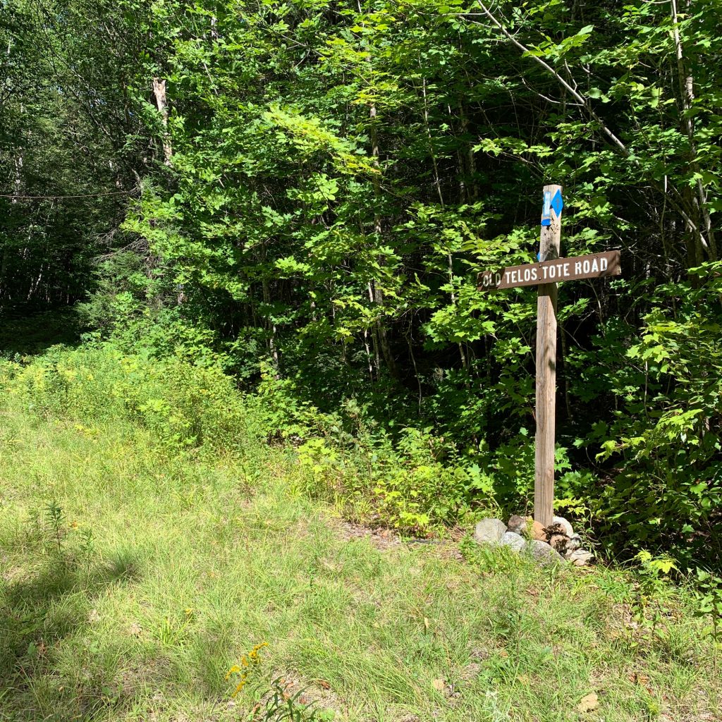
We reset the post and headed up the Spring Brook Trail. This trail was more overgrown than the previous section, but still easily passable.
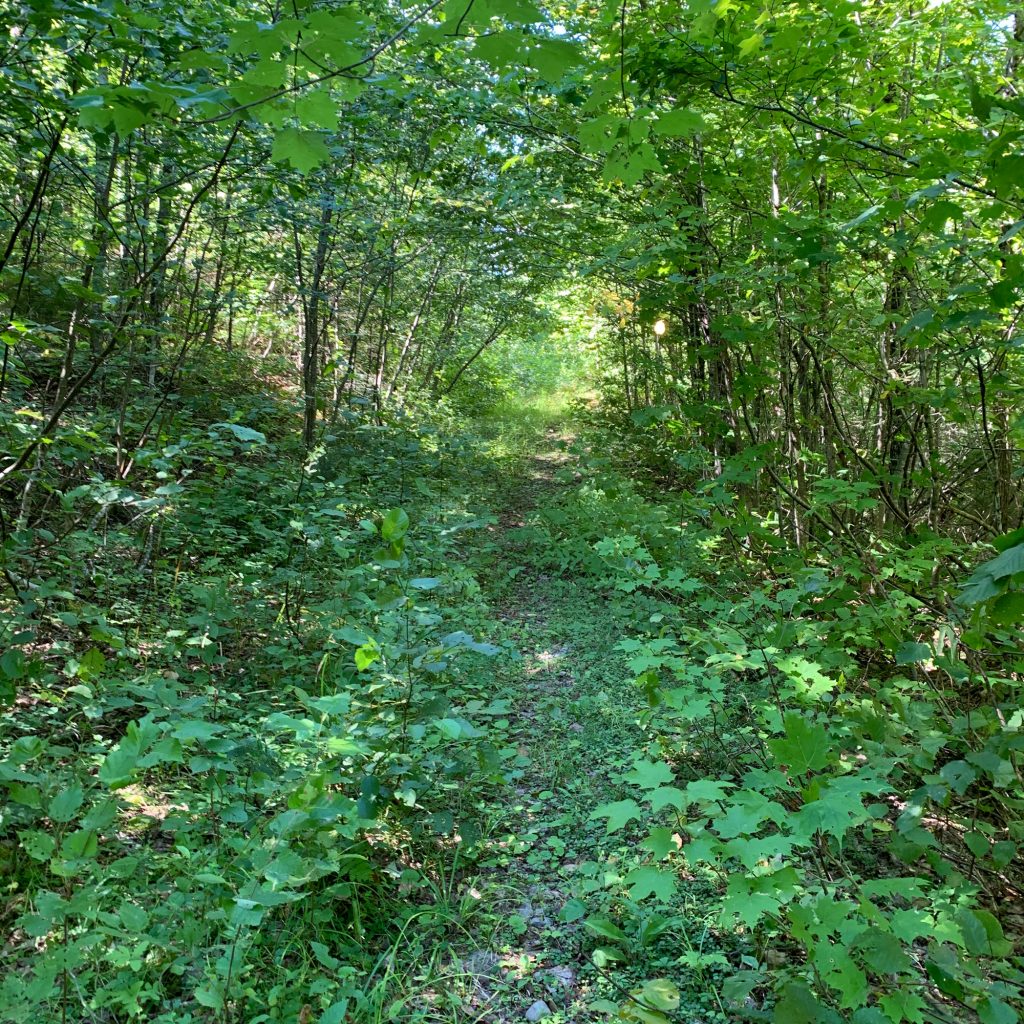
At Mile 16.4 we found an 8” spruce blowdown which we left in place after trimming some side branches to make it easier to climb over. At around Mile 16.0 alders on this section are starting to grow in again after our last big clearing in 2018. Note: poison ivy is beginning to spread in roughly the same area, so use caution if you’re sensitive to it!
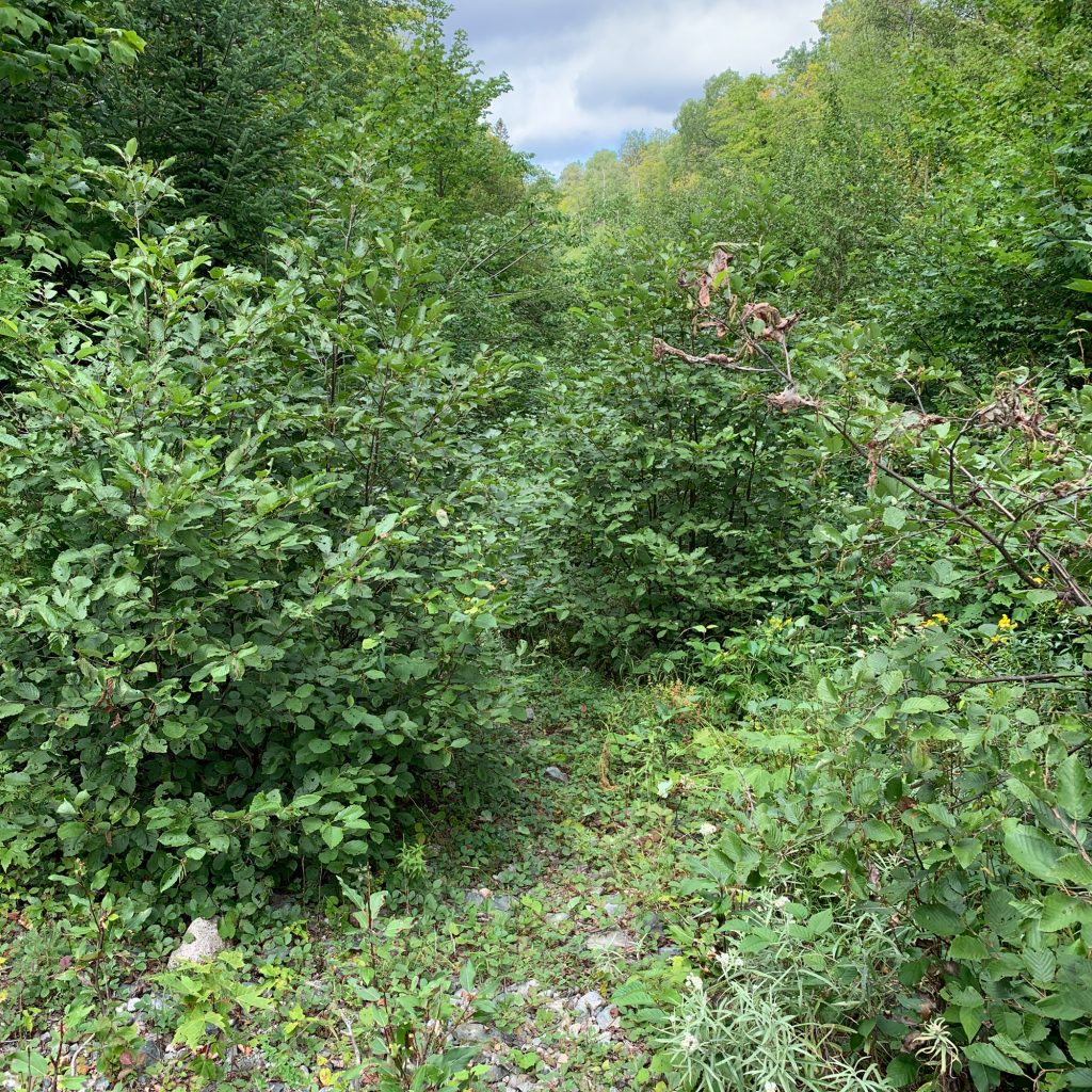
The trail was clear again after crossing Little Hathorn Brook at Mile 15.7 until we approached the junction with the Messer Pond Rd (Mile 15.4) where we encountered the great wall of alders! The junction was totally overgrown and unrecognizable. We dropped our packs and spent an hour or so clearing the trail from the junction to the 2nd crossing of Little Hathorn Brook.
After crossing Little Hathorn Brook, there was a short break in the alders, but they soon began again, denser and taller than the ones we had just cleared. It was getting late and we were still 4 miles from the lean-to, so we pushed our way though this alder patch (which was about ¾ mile long) and continued hiking. Over the last 4 miles we cleared a few small blowdowns and noted several other areas of alder overgrowth, including the densest patch we’d seen so far at Mile 13.4 – about 1.5 miles from the lean-to. At around Mile 11, we came across a large, multi-stemmed, oak blowdown. We cleared enough branches to make it possible to (awkwardly) climb over it.
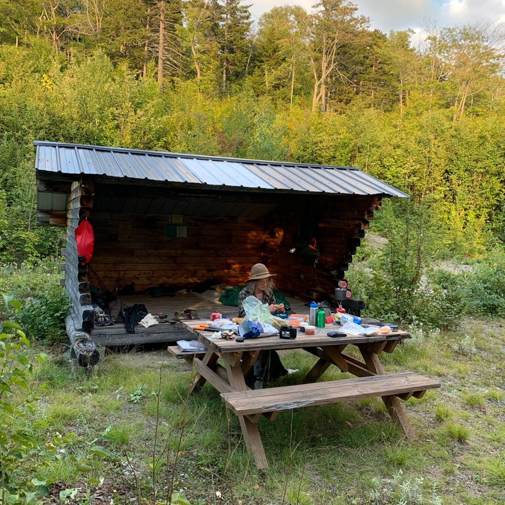
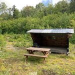
We reached the lean-to (Mile 11.9) at around 4:30 and found it in good shape and very clean. After unpacking and setting up camp, Jude cleared some shrubs around the lean-to, picnic table, and privy while I cleared vegetation around the fire ring. We also left two rolls of TP in the privy. We hiked up to the water trail and reset the sign which had been knocked down. The trail down to Lunksoos Stream was a bit hard to follow due to several small limbs which had fallen across it. We cleared these and found plenty of water in the stream despite the near-drought conditions.
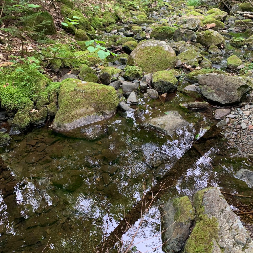
Tuesday, September 1
The day was cool and a bit overcast. We got up early and decided rather than hike up Lunksoos Mtn and then over to Deasey as originally planned, we’d do a quick hike up Lunksoos and back and then hike north to the densest section of alders we had encountered the day before.
The trail up Lunksoos was in very good condition with only a few small blowdowns which we cleared. A couple of people had mentioned in the lean-to’s hiker register that they had a hard time finding the trail off the summit of Lunksoos, so we took some time to add a few more cairns to mark the trail.
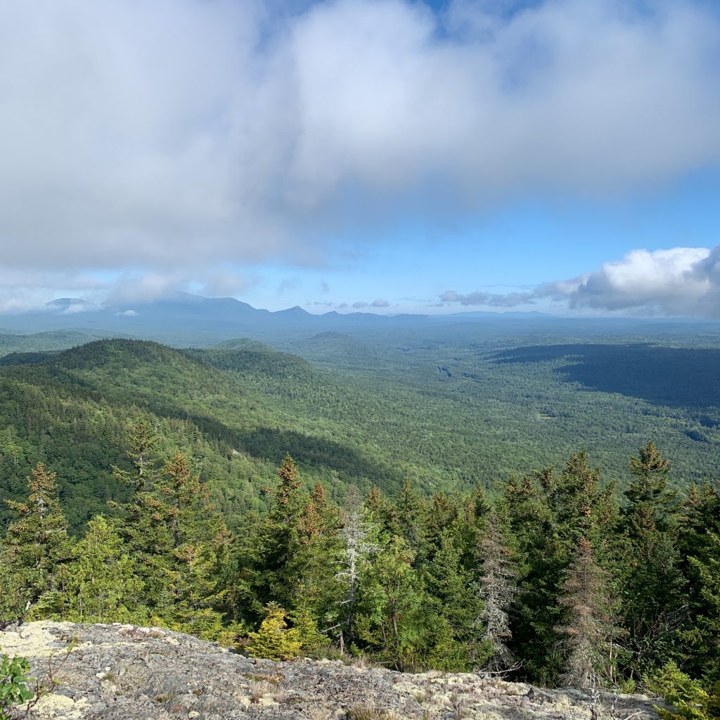
After returning to the lean-to and taking a short break for lunch, we headed north on the trail about 2 miles to the dense alder patch we encountered on Monday.
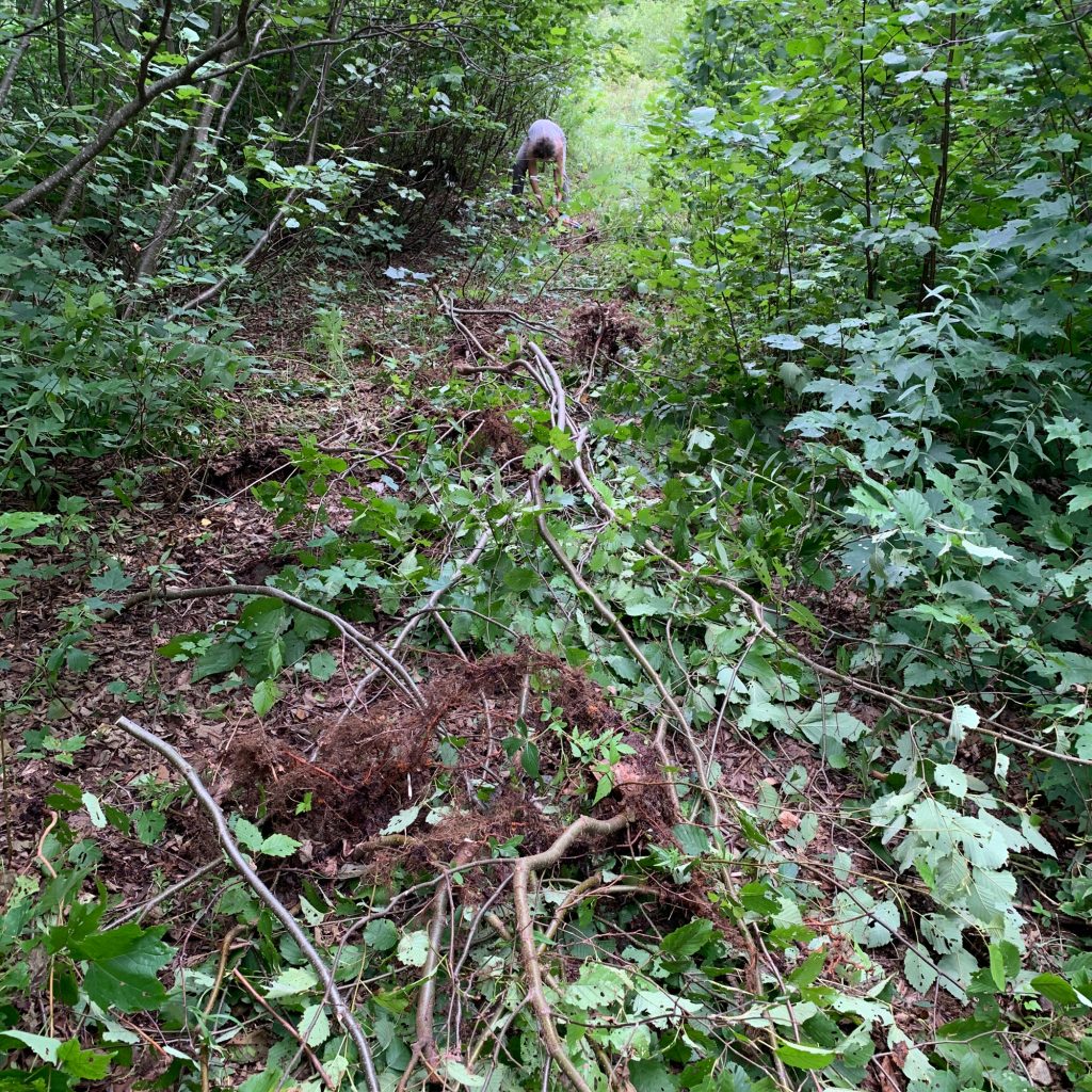
We cleared this along with several other incipient patches that would have become a problem in a year or two. On the hike back to the lean-to we reset and reinforced several of the sign posts with additional rocks.
Wednesday, September 2
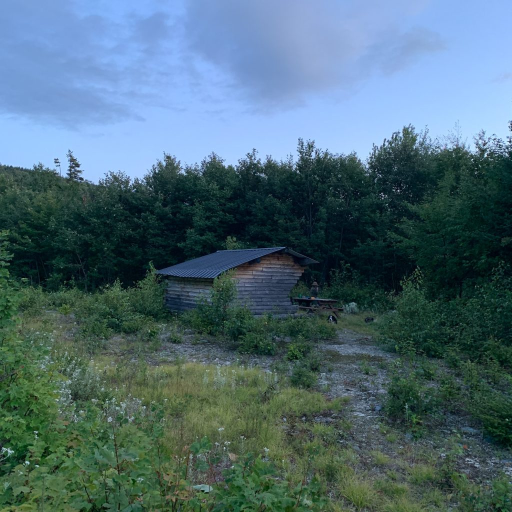
After a very breezy night with a full moon, we got up early, packed up and headed down the trail, stopping to pull up some of the smaller alder patches we had ignored on the hike in.
At Mile 13.3 we met the southern end of the great wall of alders and spent an hour or so clearing a narrow path through them. However, a concerted effort needs to be made to really cutback and clear the alders in this section until the surrounding trees grow tall enough to shade them out.
Finally, back at the junction of the Old Telos Tote Road and the Spring Brook Trail (Mile 16.6), we spent an hour or so having lunch and finding rocks to reinforce the base of the sign post.
On the return to Bowlin, we cleared a couple more blowdowns we had ignored on the hike in on Monday. We arrived back at Bowlin Camps at around 4 pm.

