Trails are often designed and built for a specific purpose. A ski trail, a mountain bike trail, and an island to island trail — skis, mountain bikes, and boats in these examples.
The first 50 or so miles along the IAT, heading south from the border crossing, has become a multi-use trail, but not by any grand design or plan.
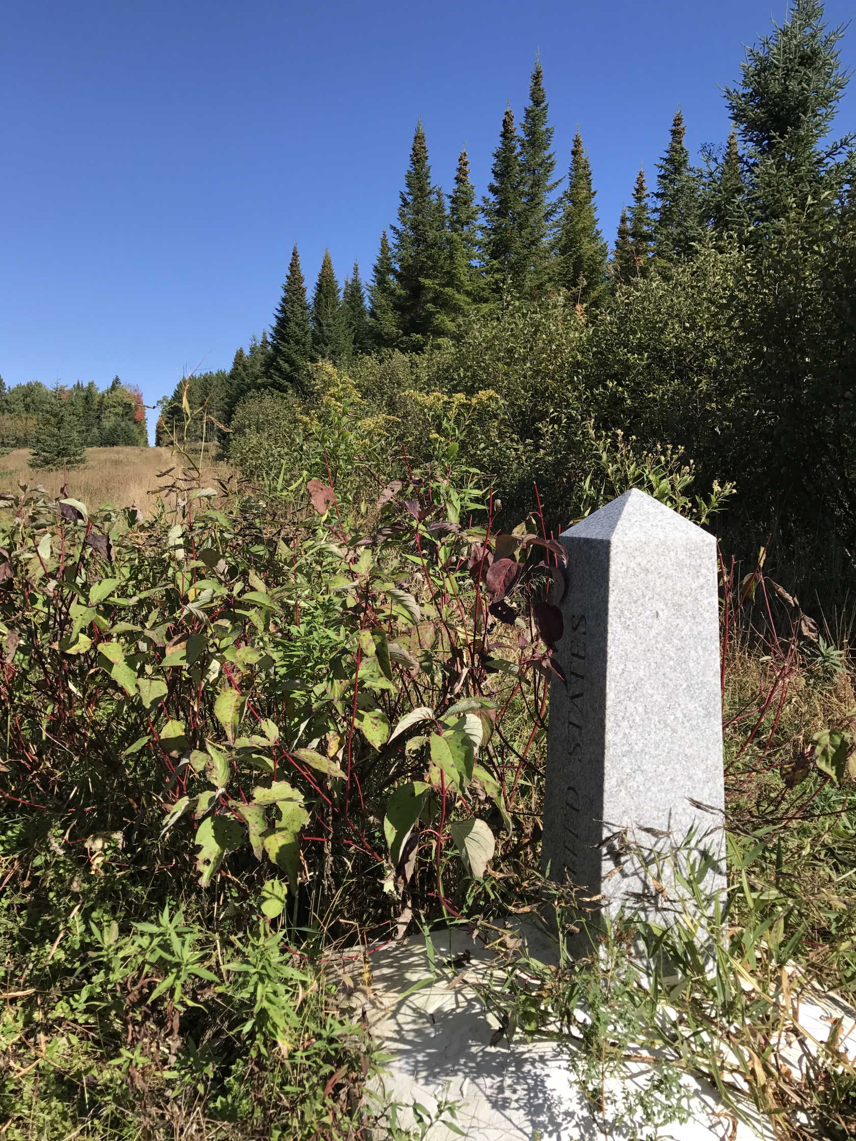
The border is a roughly 20′ swath through woods and wetlands, with quite random placement of concrete, granite, and even steel monuments placed along the centerline. The purpose of the cleared space and the monuments is to alert anyone who might meet the international boundary from an approach perpendicular to the swath, or at some other angle than parallel, that they have should not pass.